


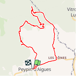

7.3 km | 11.5 km-effort


User


FREE GPS app for hiking
 SityTrail
IGN / Geographical institutes
SityTrail World
The world is yours!
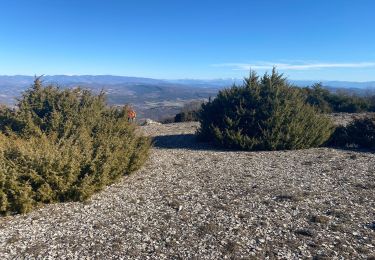
Trail Walking of 11.6 km to be discovered at Provence-Alpes-Côte d'Azur, Vaucluse, Peypin-d'Aigues. This trail is proposed by denizot.
Walking
Walking
Walking
Walking
Walking

Mountain bike

Walking

Walking

Cycle
Le plus dur est de trouver le filon de Lherzolite, mais c'est magnifique !