


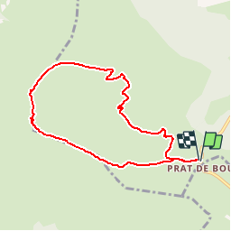

8.2 km | 14.2 km-effort


User


FREE GPS app for hiking
 SityTrail
IGN / Geographical institutes
SityTrail World
The world is yours!
Trail Walking of 8.1 km to be discovered at Auvergne-Rhône-Alpes, Cantal, Albepierre-Bredons. This trail is proposed by gerard42.
depuis prat de bouc
Walking

Walking

Walking

Walking

Walking

Walking
Walking
Walking
Walking
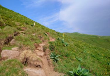
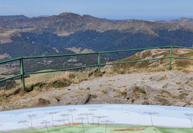
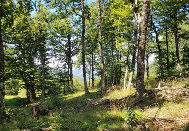
Paysage à couper le souffle depuis le col de la tombe du père, et époustouflant depuis le sommet du Plomb. Par ailleurs belle ballade dans les prairies d'estive. Temps de marche 3h15.