Trail Walking Albepierre-Bredons - Cantal - Col de Prat de Bouc Le Plomb du Cantal - 8.2km 450m 2h45 - 2019 07 06 - Photo

Cantal - Col de Prat de Bouc Le Plomb du Cantal - 8.2km 450m 2h45 - 2019 07 06

 Orcal37
Orcal37

User

© OpenStreetMap contributors
Length
Length
8.2 km
Max alt
Max alt
1839 m
Uphill gradient
Uphill gradient
450 m
Km-Effort
Km-Effort  
14.2 km
Min alt
Min alt
1386 m
Downhill gradient
Downhill gradient
450 m
Boucle
Boucle
Yes
Creation date :
2019-07-06 06:24:50.409
Updated on :
2021-09-11 12:28:32.637

(1 Reviews)

Walking
Walking
2h45
Difficulty : Medium

Scan this QR Code to open this trail in the SityTrail application

FREE GPS app for hiking

Logo SityTrail SityTrail

IGN / Geographical institutes

Download SityTrail from the App Store Download SityTrail from Google Play

Logo SityTrail SityTrail World

The world is yours!

Download SityTrail from the App Store Download SityTrail from Google Play Download SityTrail on Huawei AppGallery

About

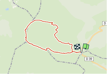
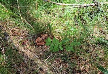
Trail Walking of 8.2 km to be discovered at Auvergne-Rhône-Alpes, Cantal, Albepierre-Bredons. This trail is proposed by Orcal37.

Description

Cantal - Col de Prat de Bouc - Le Plomb du Cantal - 8.2km 450m 2h45 - 2019 07 06

Elevation profile

Photos

Positioning

Country:
France
Region :
Auvergne-Rhône-Alpes
Department/Province :
Cantal
Municipality :
Albepierre-Bredons
Location:
Unknown
Start:(UTM)
483761 ; 4988819 (31T) N.

Comments

Please log in to post a review or rate the element


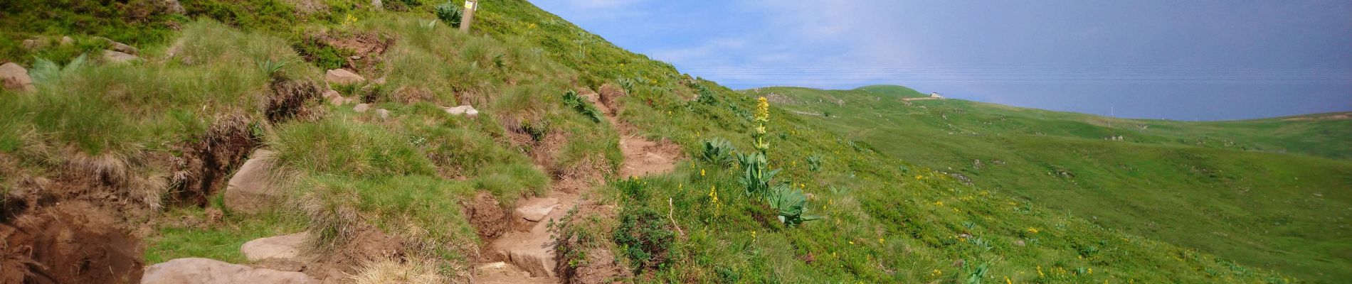
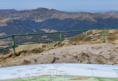
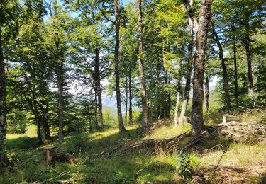
Bonne randonnée à faire en famille.


Trails nearby

Trail Walking Laveissière - Le Puy Griou de Super Lioran - Photo
Walking
tracegps

Walking

Medium
(2)
Laveissière, Auvergne-Rhône-Alpes, Cantal, France
11.9 km | 19.7 km-effort
5h 0min
Yes
Trail Walking Laveissière - Le plomb du Cantal - Le Lioran - Photo
Walking
tracegps

Walking

Medium
(1)
Laveissière, Auvergne-Rhône-Alpes, Cantal, France
14.4 km | 27 km-effort
6h 0min
Yes
Trail Walking Laveissière - Les crêtes du Cantal - Le Lioran - Photo
Walking
tracegps

Walking

Difficult
(4)
Laveissière, Auvergne-Rhône-Alpes, Cantal, France
28 km | 51 km-effort
7h 30min
Yes
Trail Walking Laveissière - le Peyre Arse - Le Lioran - Photo
Walking
tracegps

Walking

Difficult
(1)
Laveissière, Auvergne-Rhône-Alpes, Cantal, France
11.2 km | 19.4 km-effort
4h 0min
No
Trail Walking Laveissière - Lioran 2023-08-11 Col du Pertus - Photo
Walking
marionneau

Walking

Medium
(1)
Laveissière, Auvergne-Rhône-Alpes, Cantal, France
17.3 km | 25 km-effort
2h 57min
Yes
Trail Walking Albepierre-Bredons - Plomb du cantal - Photo
Walking
gerard42

Walking

Medium
(1)
Albepierre-Bredons, Auvergne-Rhône-Alpes, Cantal, France
8.1 km | 14.1 km-effort
2h 0min
Yes
Trail Walking Laveissière - SityTrail - TABAZE Plomb du Cantal - Photo
Walking
PsyPezman

Walking

Very difficult
Laveissière, Auvergne-Rhône-Alpes, Cantal, France
35 km | 61 km-effort
13h 53min
Yes
Trail Walking Laveissière - Lioran 2023-08-17 Col de Gliziou Retour par Rombière - Photo
Walking
marionneau

Walking

Easy
Laveissière, Auvergne-Rhône-Alpes, Cantal, France
12.7 km | 21 km-effort
4h 41min
Yes
Trail Walking Saint-Jacques-des-Blats - Lioran 2023-08-16 Prés Marty (Plomb du Cantal) - Photo
Walking
marionneau

Walking

Easy
Saint-Jacques-des-Blats, Auvergne-Rhône-Alpes, Cantal, France
9.7 km | 15.8 km-effort
3h 35min
Yes


Close
My subscriptions