


10.3 km | 13.3 km-effort


User


FREE GPS app for hiking
 SityTrail
IGN / Geographical institutes
SityTrail World
The world is yours!
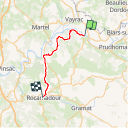
Trail Walking of 27 km to be discovered at Occitania, Lot, Carennac. This trail is proposed by tracegps.
Etape 17 de la via Arverna, chemin de Saint Jacques de Compostelle entre Clermont-Ferrand et Cahors. Arrivée directe à destination de Rocamadour, haut lieu de pèlerinage et carrefour entre la via Arverna, la GR6 et la GR46. Retrouvez l'étape n° 17 sur le site de la «Via Arverna - chemin Saint-Jacques-de-Compostelle» ainsi qu'ICI sur le site de la « Via Arverna ».
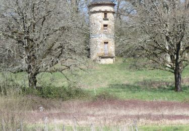
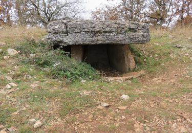
 - Photo 1")
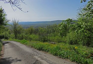
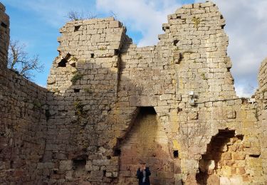
 - Photo 2")
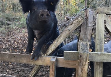
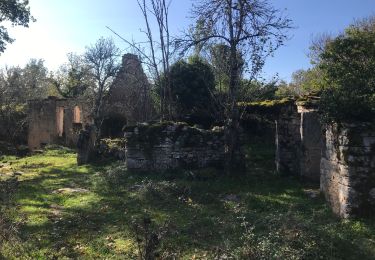
 - Photo 3")
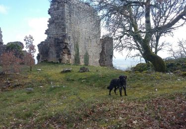
 - Photo 4")
 - Photo 5")
 - Photo 6")
Walking
Walking
Walking
Walking

Walking

Walking