


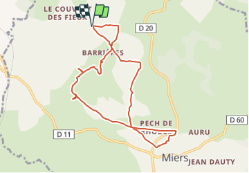


13.7 km | 17.9 km-effort

User


FREE GPS app for hiking
 SityTrail
IGN / Geographical institutes
SityTrail World
The world is yours!
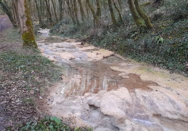
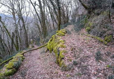
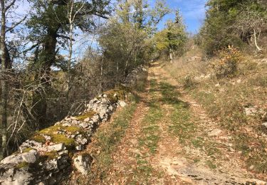
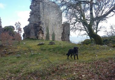
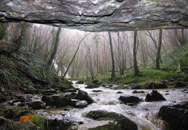
Trail Walking of 9.6 km to be discovered at Occitania, Lot, Miers. This trail is proposed by houbart.
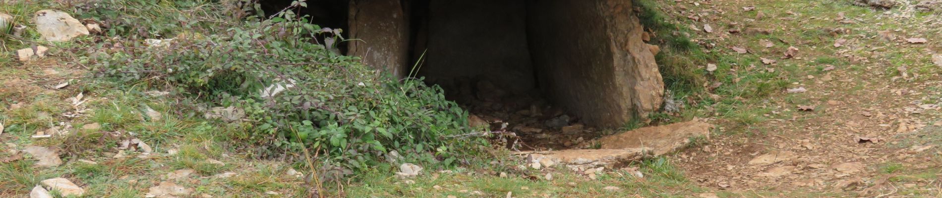
Plusieurs dolmens dont celui de la Pierre levée, exceptionnel par ses dimensions.


Walking
Walking
Walking
Walking
Walking

Walking
Mountain bike