


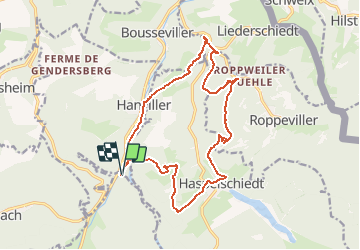

13 km | 16.1 km-effort

User


FREE GPS app for hiking
 SityTrail
IGN / Geographical institutes
SityTrail World
The world is yours!
Trail Walking of 15.9 km to be discovered at Grand Est, Moselle, Hanviller. This trail is proposed by tracegps.
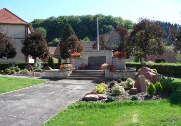
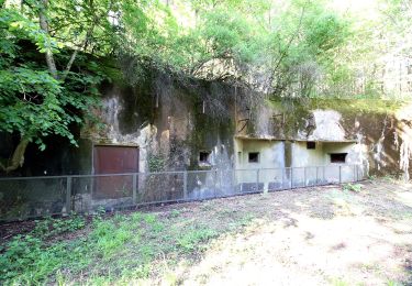
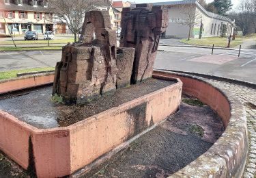
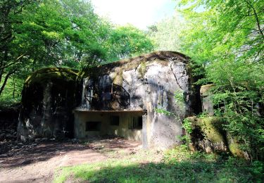
Départ de l’ancien moulin de la Schwingmuehle, Chapelle Saint Wendelin, Schlossberg, village de Haspelschiedt, vallée Gruenholz, Roppeviller Muehle, Eberbach, Shwarzenberg, Source du Gutebrunnen, village de Hanviller, retour à Schwingmuehle par la vallée du Hornbach.


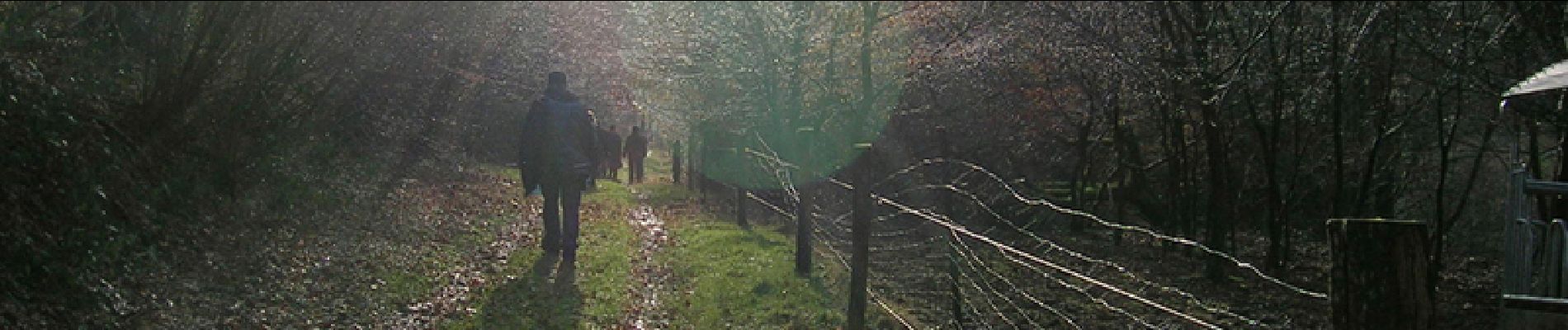
Walking

Walking
On foot
On foot
On foot
On foot

On foot
On foot