


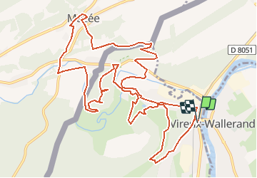


14.8 km | 21 km-effort


User


FREE GPS app for hiking
 SityTrail
IGN / Geographical institutes
SityTrail World
The world is yours!
Trail Walking of 14.4 km to be discovered at Grand Est, Ardennes, Vireux-Molhain. This trail is proposed by tracegps.
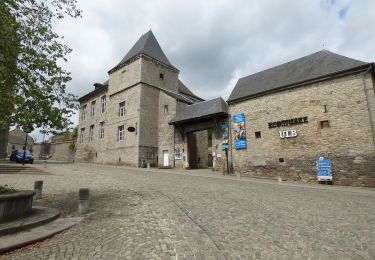
Par monts et vallées, la randonnée rencontre des points de vue exceptionnels sur la vallée du Viroin, la grande forêt des Ardennes Franco-Belges, la forêt de Thiérache et le site fortifié du Mont-Vireux. Départ: Eglise de Vireux-Molhain.


Walking

Walking

Walking

Walking

Walking
On foot