


39 km | 54 km-effort

User


FREE GPS app for hiking
 SityTrail
IGN / Geographical institutes
SityTrail World
The world is yours!
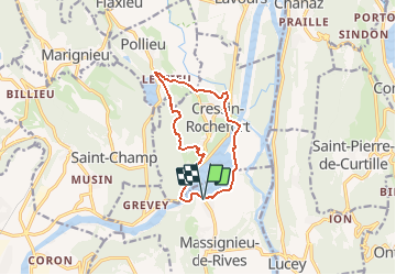
Trail Walking of 10.7 km to be discovered at Auvergne-Rhône-Alpes, Ain, Massignieu-de-Rives. This trail is proposed by tracegps.
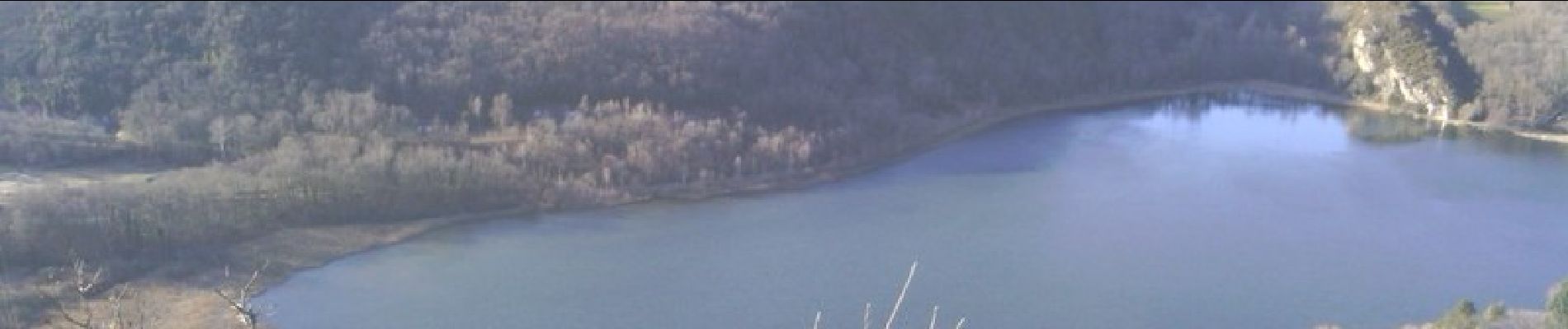
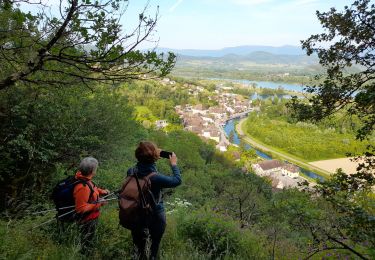
Départ du port de Massignieu-de-Rives. Après avoir contourné par l'ouest le lac du Lit au Roi, on traverse différents bois pour atteindre Lézieu. On prend la direction de Rochefort pour traverser ensuite le canal de dérivation du Rhône pour rejoindre la rive Est du lac.


Mountain bike

Mountain bike
Mountain bike

Road bike
Walking
Mountain bike

Walking
Walking
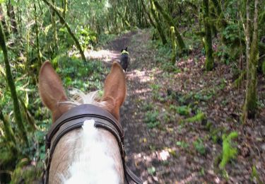
Horseback riding