


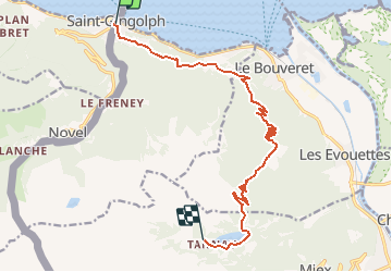

10.8 km | 26 km-effort

User


FREE GPS app for hiking
 SityTrail
IGN / Geographical institutes
SityTrail World
The world is yours!
Trail Mountain bike of 13.8 km to be discovered at Valais/Wallis, Monthey, Saint-Gingolph. This trail is proposed by tracegps.
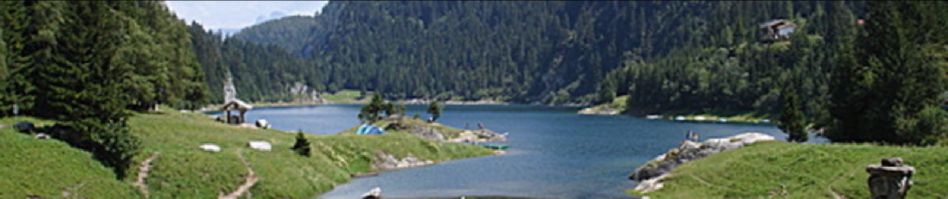
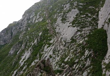
Première étape d'une fabuleuse traversée imaginée par Eric Berioux: "La Traversée des Alpes à VTT reste le pivot de mon activité, elle représente un travail de longue haleine ! Elle s’appuie sur vingt ans de pratique du VTT dans les Alpes pour s’approprier les différents secteurs parcourus. La rédaction du livre me motivait depuis fort longtemps. Il fallait trouver une ligne, pure et logique qui permette de descendre du lac Léman à la Méditerranée en passant au plus près des plus beaux sommets, dans les plus belles vallées. Outre cet aspect «touristique», où la découverte de paysage est essentielle pour combler et partager mon amour de la montagne, il fallait aussi que cet itinéraire ait du sens d’un point de vue sportif et purement VTT." Retrouvez plus d'informations sur TransAlpesVTT.


Walking

Other activity
Other activity
Other activity
Other activity
Other activity

Walking


sport
Road bike