


23 km | 35 km-effort


User


FREE GPS app for hiking
 SityTrail
IGN / Geographical institutes
SityTrail World
The world is yours!
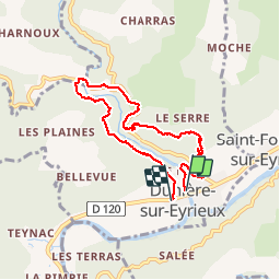
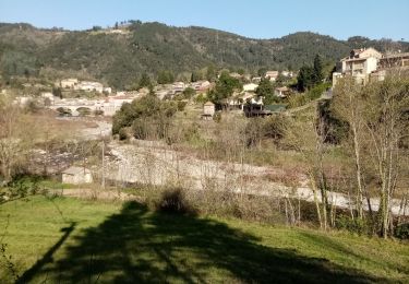
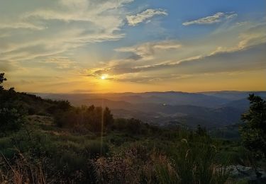
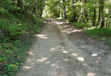
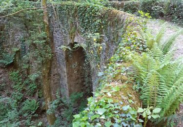
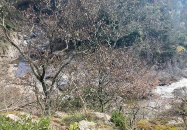
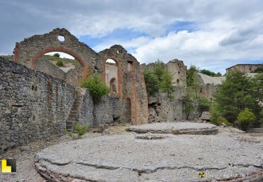
Trail Walking of 7.3 km to be discovered at Auvergne-Rhône-Alpes, Ardèche, Dunière-sur-Eyrieux. This trail is proposed by gerard1222.
Walking
Walking
Walking
Walking
Walking
Walking
Walking
Walking
Walking
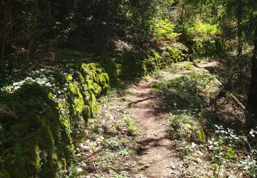
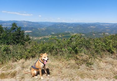
Belle balade tranquille avec de nombreux points de vue sur les gorges de la Dunière.
Belle balade tranquille avec de nombreux points de vue sur les gorges de la Dunière.