


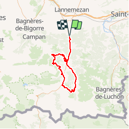

23 km | 32 km-effort


User


FREE GPS app for hiking
 SityTrail
IGN / Geographical institutes
SityTrail World
The world is yours!
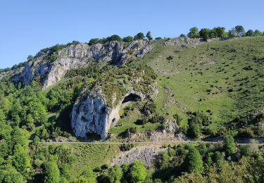
Trail Cycle of 97 km to be discovered at Occitania, Hautespyrenees, Hèches. This trail is proposed by Polo-31.
Depuis HECHES, Loudenvielle, Col Azet, St Lary, Hourquette d'Ancizan, Payolle, Col d'Aspin, Arreau, Heches

Walking
Walking
Walking
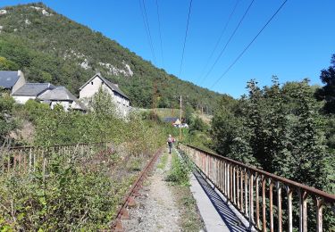
Walking
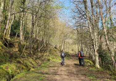
Walking
On foot
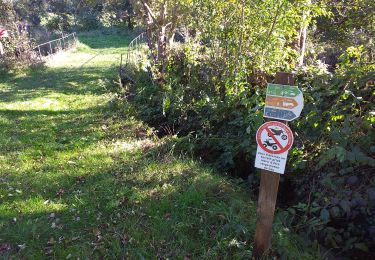
Walking
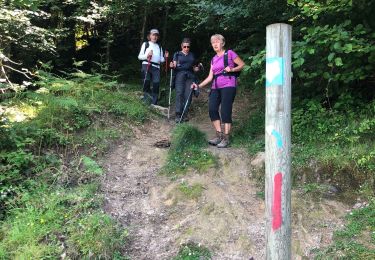
Walking
Walking