


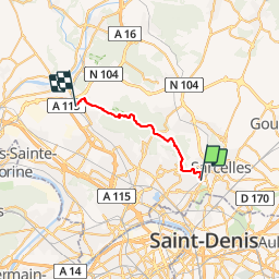

16 km | 17.7 km-effort

User


FREE GPS app for hiking
 SityTrail
IGN / Geographical institutes
SityTrail World
The world is yours!
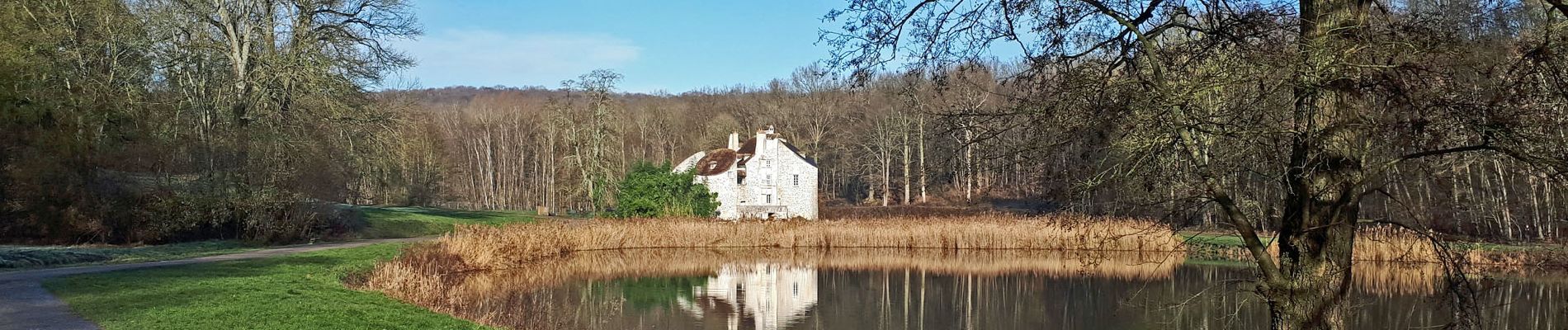
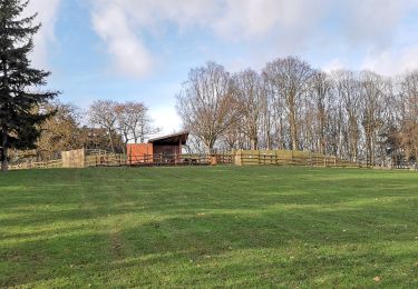
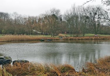
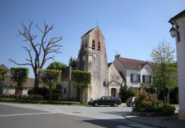
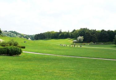
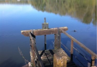
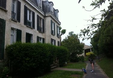
Trail Walking of 19.7 km to be discovered at Ile-de-France, Val-d'Oise, Groslay. This trail is proposed by clalaur.
Ceinture verte de l'Ile de France. Etape 10 sur 16 - De la gare Groslay (H) a la gare de Frepillon (H)


Walking
Walking

Walking
Mountain bike

Mountain bike

Walking
Walking
Mountain bike
Running