


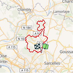

15.7 km | 17.8 km-effort


User


FREE GPS app for hiking
 SityTrail
IGN / Geographical institutes
SityTrail World
The world is yours!
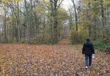
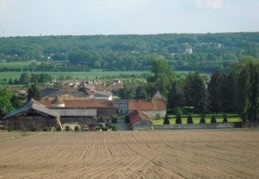
Trail Mountain bike of 48 km to be discovered at Ile-de-France, Val-d'Oise, Domont. This trail is proposed by tracegps.
Traditionnelle randonnée VTT "La Domontoise" qui traverse plusieurs forêts domaniale avec 2 ravitaillements sur le parcours 50 Km. Circuit fléché et rubalaise pour la journée.


Walking

Walking
Walking
Walking
Walking
Walking
Walking
Mountain bike

Mountain bike