


F73620 les Saisies mont de Vorès MJC

ageo
User


Length
18.6 km

Max alt
1991 m

Uphill gradient
479 m
Km-Effort
27 km

Min alt
1318 m

Downhill gradient
943 m
Boucle
No
Creation date :
2018-06-30 08:21:02.014
Updated on :
2018-07-07 07:16:36.047
5h19
Difficulty : Medium

FREE GPS app for hiking
 SityTrail
IGN / Geographical institutes
SityTrail Plus
The world is yours!
About
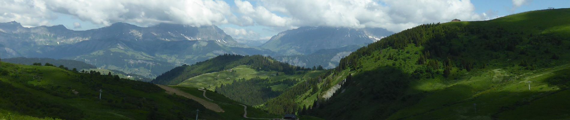
Trail Walking of 18.6 km to be discovered at Auvergne-Rhône-Alpes, Savoy, Hauteluce. This trail is proposed by ageo.
Description
File with points/tracks from Locus Map/3.31.3
Photos


Positioning
Country:
France
Region :
Auvergne-Rhône-Alpes
Department/Province :
Savoy
Municipality :
Hauteluce
Location:
Unknown
Start:(Dec)
Start:(UTM)
309697 ; 5070355 (32T) N.
Comments