


La sauvière

ocepee
User
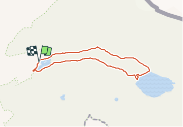

Length
7.5 km

Max alt
2474 m

Uphill gradient
219 m
Km-Effort
10.4 km

Min alt
2282 m

Downhill gradient
216 m
Boucle
Yes
Creation date :
2018-08-06 09:33:23.477
Updated on :
2018-08-06 15:54:16.464
2h23
Difficulty : Easy

FREE GPS app for hiking
 SityTrail
IGN / Geographical institutes
SityTrail Plus
The world is yours!
About
Trail Walking of 7.5 km to be discovered at Auvergne-Rhône-Alpes, Savoy, Tignes. This trail is proposed by ocepee.
Description
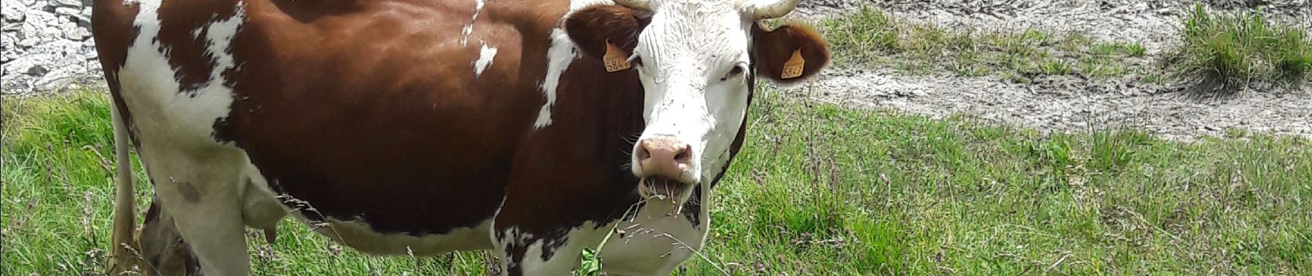
Superbe rando avec une vue inoubliable ! Super pour un moment détente en famille !
Photos


32 photos in total. Please click on a photo to see them all in the gallery.
Positioning
Country:
France
Region :
Auvergne-Rhône-Alpes
Department/Province :
Savoy
Municipality :
Tignes
Location:
Unknown
Start:(Dec)
Start:(UTM)
341342 ; 5039118 (32T) N.
Comments