Trail Walking Tignes - le rocher de la Davie - Photo

le rocher de la Davie

 amiral13
amiral13

User GUIDE

© OpenStreetMap contributors
Length
Length
11 km
Max alt
Max alt
3143 m
Uphill gradient
Uphill gradient
890 m
Km-Effort
Km-Effort  
23 km
Min alt
Min alt
2280 m
Downhill gradient
Downhill gradient
890 m
Boucle
Boucle
Yes
Creation date :
2018-08-26 04:56:03.548
Updated on :
2018-08-26 12:42:02.42

(0 Reviews)

Walking
Walking
5h15
Difficulty : Difficult

Scan this QR Code to open this trail in the SityTrail application

FREE GPS app for hiking

Logo SityTrail SityTrail

IGN / Geographical institutes

Download SityTrail from the App Store Download SityTrail from Google Play

Logo SityTrail SityTrail Plus

The world is yours!

Download SityTrail from the App Store Download SityTrail from Google Play Download SityTrail on Huawei AppGallery

About

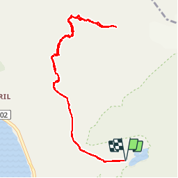
Trail Walking of 11 km to be discovered at Auvergne-Rhône-Alpes, Savoy, Tignes. This trail is proposed by amiral13.

Description

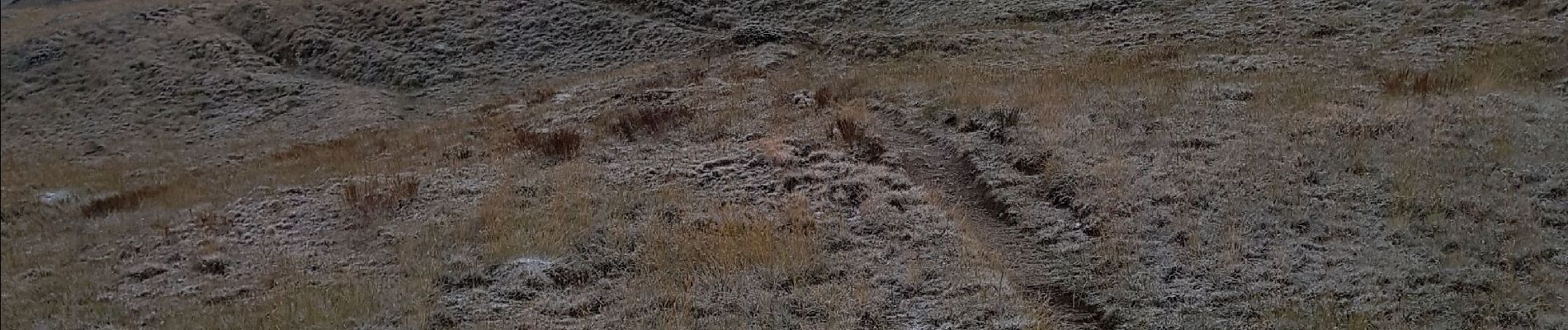
un magnifique belvédère sur les sommets environnants (grande casse, grande motte, dôme de la sache, Pointes de Méan Martin, de la Sana, charbonnel etc) et le massif du Mont Blanc.
Attention cette randonnée s'effectue principalement hors sentier et l'itinéraire est parfois difficile à trouver; la sente est parfois délicate à trouver, surtout lorsqu'il a neigé dans la nuit.
En début de saison la sortie sera classée en alpinisme et nécessitera tout le matériel adéquat.

Elevation profile

Photos

Positioning

Country:
France
Region :
Auvergne-Rhône-Alpes
Department/Province :
Savoy
Municipality :
Tignes
Location:
Unknown
Start:(UTM)
341200 ; 5038996 (32T) N.


Close
My subscriptions