


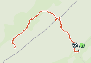

15.1 km | 21 km-effort

User


FREE GPS app for hiking
 SityTrail
IGN / Geographical institutes
SityTrail World
The world is yours!
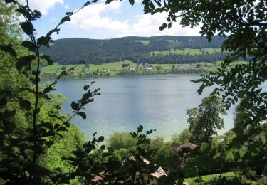
Trail Walking of 7.4 km to be discovered at Vaud, District de Nyon, Bassins. This trail is proposed by tonymeyer.
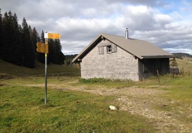
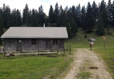
Laisser la voiture là où la Route de la Montagne tourne à droite pour La Bassine (Alt. 1263 sous le Crêt de Grison).
Montée dans la forêt pendant 30 minutes, puis en pâturage et forêt le reste du temps.


Walking

Walking

Walking

Walking
On foot
On foot
Walking
Walking
Cycle