


9.9 km | 10.7 km-effort


RCM ... l'esprit rando à vélo et à pied !


FREE GPS app for hiking
 SityTrail
IGN / Geographical institutes
SityTrail World
The world is yours!
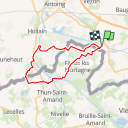
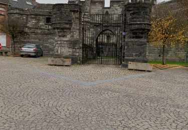
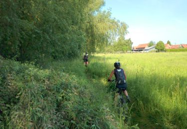
Trail On foot of 23 km to be discovered at Wallonia, Hainaut, Péruwelz. This trail is proposed by Randonneur Club Marcquois.
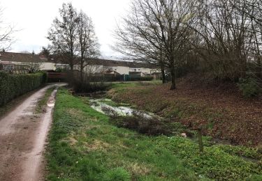
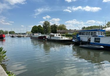
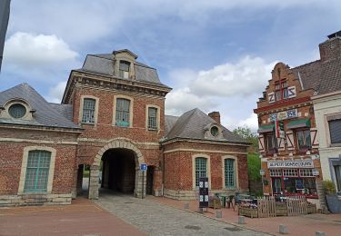
Simple randonnée à travers la campagne paisible et de la forêt de Mortagne à l'affut de jolis points de vue sur des sentiers de randonnée.
Walking
Walking
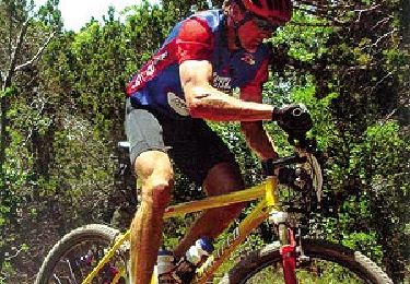
Mountain bike

On foot
Walking
Walking
Walking
Walking
Mountain bike