


CLERGEON: ROJUX

djeepee74
User


2h45
Difficulty : Easy

FREE GPS app for hiking
 SityTrail
IGN / Geographical institutes
SityTrail Plus
The world is yours!
About
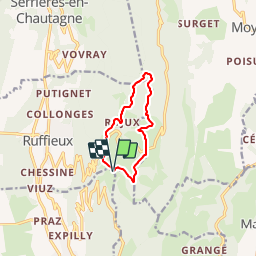
Trail Walking of 8.4 km to be discovered at Auvergne-Rhône-Alpes, Savoy, Chindrieux. This trail is proposed by djeepee74.
Description
BOUCLE
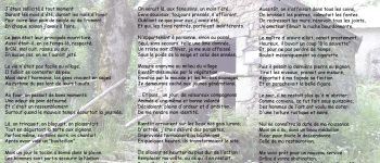
Arrêtez-vous au vieux four de Rojux... Montez les quelques marches menant à son entrée... MAIS SURTOUT, LISEZ SON HISTOIRE... C'est le four, lui-même qui vous la raconte dans un poême ! Certes, votre périple en sera rallongé d'une dizaine de minutes... mais, humainement, vous n'aurez pas perdu votre temps !
Revenons au circuit:
1/ On peut couper entre la cote 907 et 971... sans se rendre à la "grande cuve".
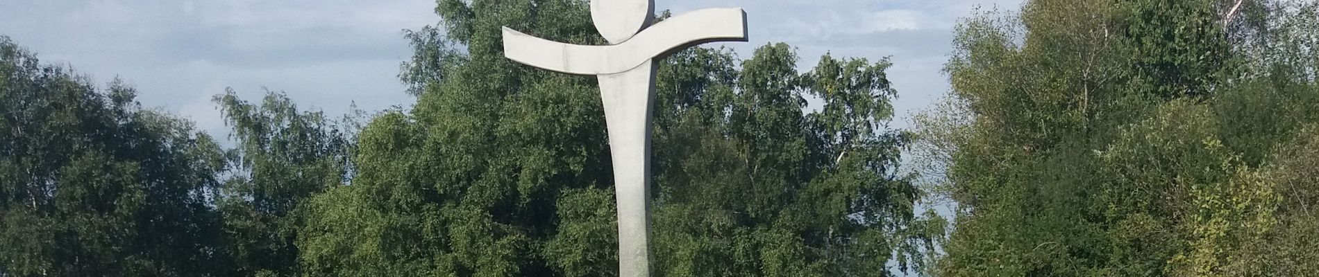
2/ La montée (très raide) directe sur la croix du Clergeon n'est à faire qu'au travers des prés "fauchés"... respect végétation oblige... Sinon, suivre le sentier de droite jusqu'aux premières maisons de Montclergeon... un sentier à gauche vous permettant, alors, de rejoindre la croix, si vous le souhaitez !
Photos


Positioning
Comments