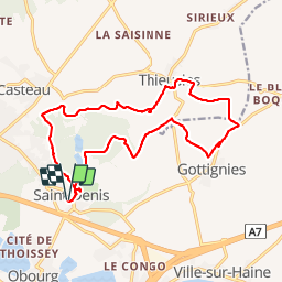
Trail Walking Mons - Saint Denis 16,5 km - Photo

Saint Denis 16,5 km

 rvapeldo
rvapeldo

User GUIDE

© OpenStreetMap contributors
Length
Length
16.7 km
Max alt
Max alt
120 m
Uphill gradient
Uphill gradient
179 m
Km-Effort
Km-Effort  
19.1 km
Min alt
Min alt
53 m
Downhill gradient
Downhill gradient
179 m
Boucle
Boucle
Yes
Creation date :
20/01/2019 10:46
Updated on :
20/01/2019 15:32

(0 Reviews)

Walking
Walking
4h43
Difficulty : Medium

Scan this QR Code to open this trail in the SityTrail application

FREE GPS app for hiking

Logo SityTrail SityTrail

IGN / Geographical institutes

Download SityTrail from the App Store Download SityTrail from Google Play

Logo SityTrail SityTrail Plus

The world is yours!

Download SityTrail from the App Store Download SityTrail from Google Play Download SityTrail on Huawei AppGallery

About

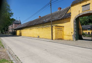
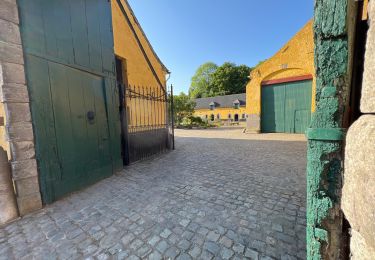
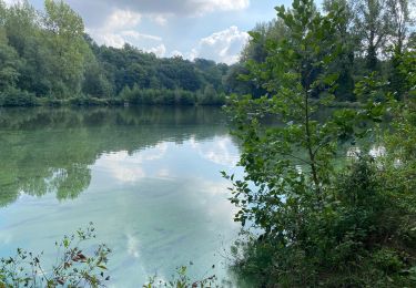
Trail Walking of 16.7 km to be discovered at Wallonia, Hainaut, Mons. This trail is proposed by rvapeldo.

Description

Vallée boisée à deux pas de Mons et de Soignies. Avec les restes d’une abbaye transformés en logements.
F

Elevation profile

Photos

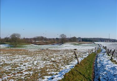
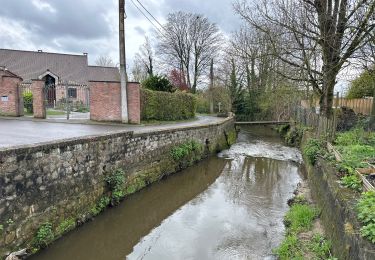
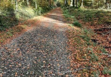
31 photos in total. Please click on a photo to see them all in the gallery.

Positioning

Country:
Belgium
Region :
Wallonia
Department/Province :
Hainaut
Municipality :
Mons
Location:
Saint-Denis
Start:(UTM)
572161 ; 5593722 (31U) N.


Close
My subscriptions