


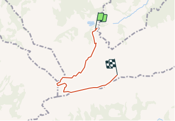

9.4 km | 13.4 km-effort


User


FREE GPS app for hiking
 SityTrail
IGN / Geographical institutes
SityTrail World
The world is yours!
Trail Other activity of 4.5 km to be discovered at Schwyz, Schwyz, Oberiberg. This trail is proposed by jschna.
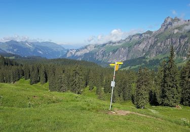
Es geht immr leicht bergauf, dem Weg entlang. Man kann nicht fehlgehen. Nach der Abzweigung in Richtung "Kleiner Sternen" erreicht man den Grat mit einer überwältigenden Aussicht nach Süden in die Innerschweiz und gegen Osten ins Muotatal.
On foot
On foot

Walking
Walking

Other activity
Other activity
Other activity