


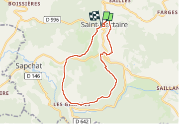

9.9 km | 13.1 km-effort

User GUIDE


FREE GPS app for hiking
 SityTrail
IGN / Geographical institutes
SityTrail World
The world is yours!
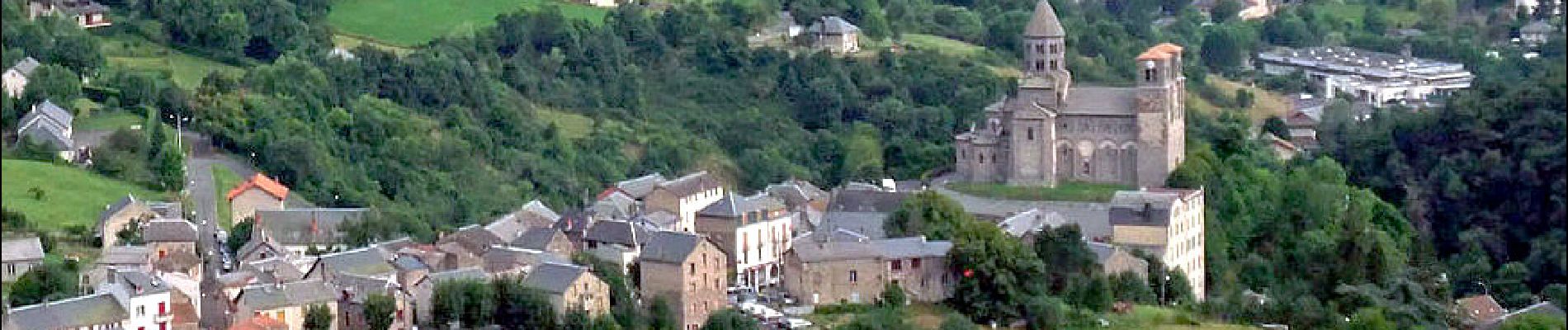
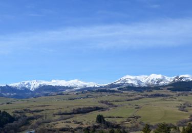
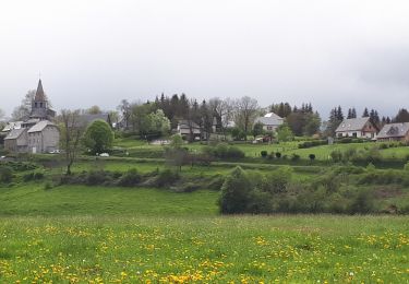
Trail Walking of 7.3 km to be discovered at Auvergne-Rhône-Alpes, Puy-de-Dôme, Saint-Nectaire. This trail is proposed by jagarnier.
En sous-bois ou à découvert, ce circuit évolue sur des pentes envahies par la lande, les taillis et les genévriers. Vous pourrez voir les eaux tumultueuses de la Couze Chambon et admirer la belle église romane de Saint-Nectaire.

Walking
Walking

Walking

Walking

Walking
On foot
On foot
On foot

On foot