


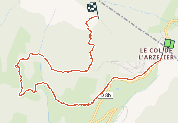

7.7 km | 13.8 km-effort

User


FREE GPS app for hiking
 SityTrail
IGN / Geographical institutes
SityTrail World
The world is yours!
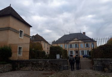
Trail Walking of 6.1 km to be discovered at Auvergne-Rhône-Alpes, Isère, Château-Bernard. This trail is proposed by cmarit.


Walking
Walking
Walking
Walking
Walking
Walking
Walking
Walking
Walking
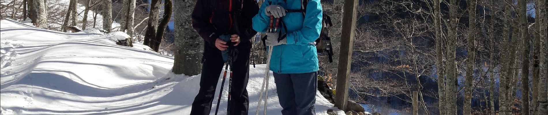
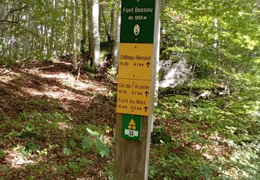
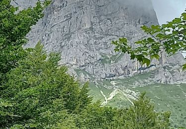
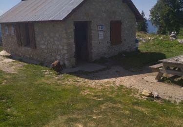
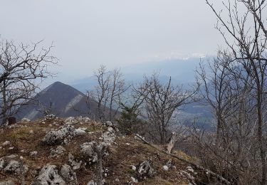
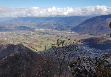
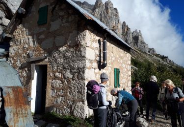
bon petit repas au refuge avec une vue magnifique. Descente tout droit en direction du col mais plus de batterie!