


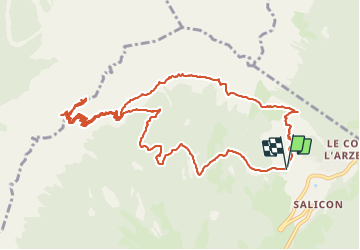

7.7 km | 13.8 km-effort

User


FREE GPS app for hiking
 SityTrail
IGN / Geographical institutes
SityTrail World
The world is yours!
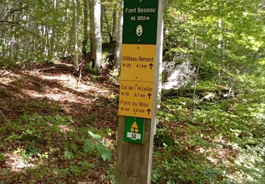
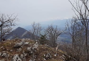
Trail Walking of 14 km to be discovered at Auvergne-Rhône-Alpes, Isère, Château-Bernard. This trail is proposed by patjobou.
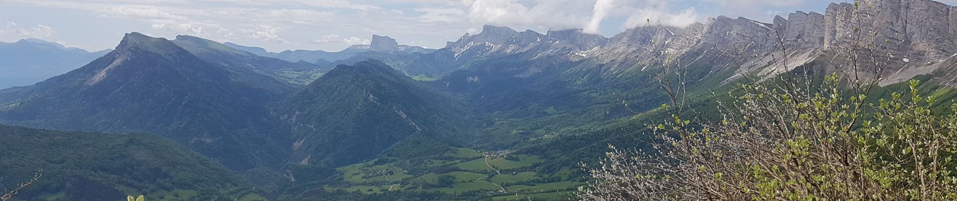
Très belle boucle. Superbe traversée en balcon après La Soldanelle; quelques névés encore présents. Bon sentier, bien tracé, pour monter au 'mur des Sarrasins'. Joli petit sangle, pour rejoindre le Pas de La Balme. Retour par Bois Barnière, à travers une superbe forêt de feuillus.
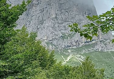
La montée au Mur des sarrasins est bien tracée, mais soutenue. Réservée aux pieds sûrs, non sujets au vertige.


Walking
Walking

Mountain bike
Walking
Walking
Walking
Walking
Walking
Walking