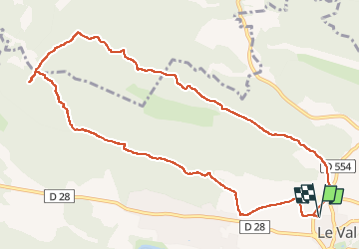
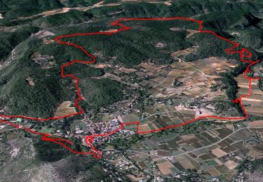
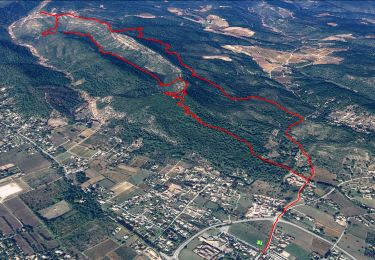
14.2 km | 18.1 km-effort
Le Cuit
Greg813
User
Length
12 km
Max alt
520 m
Uphill gradient
378 m
Km-Effort
17.1 km
Min alt
243 m
Downhill gradient
378 m
Boucle
Yes
Creation date :
2019-02-16 13:41:13.53
Updated on :
2019-02-16 20:46:03.552
3h27
Difficulty : Medium
FREE GPS app for hiking
About
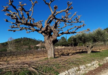
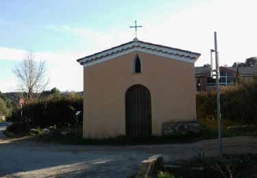
Trail Walking of 12 km to be discovered at Provence-Alpes-Côte d'Azur, Var, Le Val. This trail is proposed by Greg813.
Description
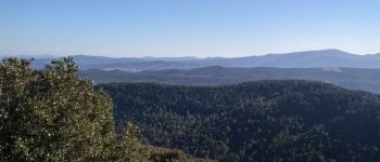
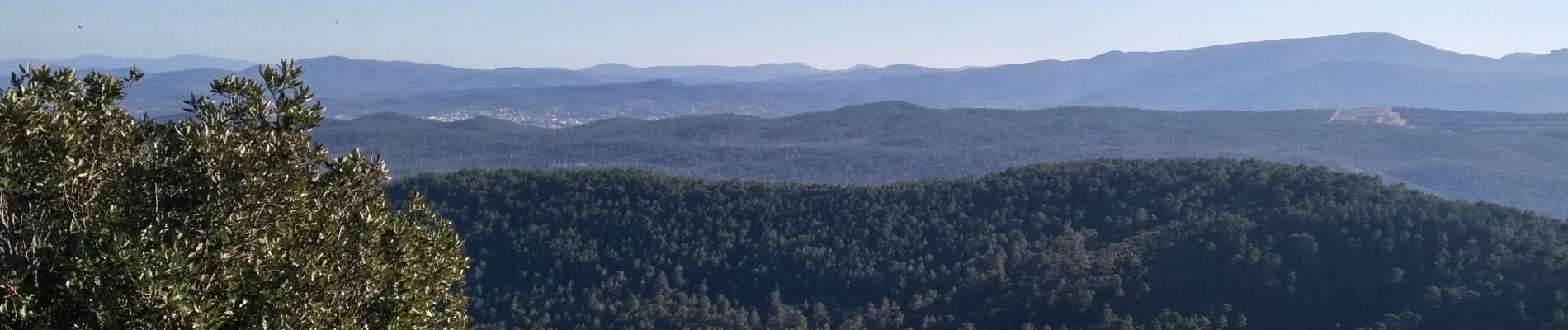
Depuis Le Val, randonnée dans les hauteurs. Assez ombragé sur le début (chemin de PR), retour par le GR.
Positioning
Country:
France
Region :
Provence-Alpes-Côte d'Azur
Department/Province :
Var
Municipality :
Le Val
Location:
Unknown
Start:(Dec)
Start:(UTM)
262912 ; 4813966 (32T) N.
Comments
Trails nearby
Le patrimoine - l'Argens - Le village
Walking
Easy
(1)
Correns,
Provence-Alpes-Côte d'Azur,
Var,
France
6h 0min
Yes
Trace_Le_Val
Walking
Medium
(1)
Le Val,
Provence-Alpes-Côte d'Azur,
Var,
France
14.6 km | 21 km-effort
6h 0min
Yes
Correns - Val Obscur - Rive de l'Argens - Grotte aux Fées - Châteauvert - Val...
Walking
Medium
Correns,
Provence-Alpes-Côte d'Azur,
Var,
France
21 km | 27 km-effort
4h 57min
Yes
circuit des chapelles-le Val-07-09-22
Walking
Medium
(1)
Le Val,
Provence-Alpes-Côte d'Azur,
Var,
France
14.7 km | 22 km-effort
4h 12min
Yes
Correns-18-03-22
Walking
Medium
Correns,
Provence-Alpes-Côte d'Azur,
Var,
France
11.9 km | 14.9 km-effort
4h 10min
Yes
Circuit des Chapelle-Le Val-15-01-21
Walking
Medium
(1)
Le Val,
Provence-Alpes-Côte d'Azur,
Var,
France
12.7 km | 18.1 km-effort
4h 29min
Yes
Le Val : Le Cuit
Walking
Difficult
(1)
Le Val,
Provence-Alpes-Côte d'Azur,
Var,
France
12.9 km | 19.8 km-effort
4h 7min
Yes
LE VAL LE CUIT
Walking
Easy
Le Val,
Provence-Alpes-Côte d'Azur,
Var,
France
14.3 km | 21 km-effort
4h 24min
Yes
Montée du Cuit
Walking
Medium
(1)
Le Val,
Provence-Alpes-Côte d'Azur,
Var,
France
7.3 km | 11 km-effort
1h 50min
Yes