


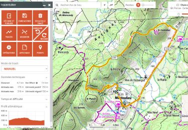
7.6 km | 11.2 km-effort

User


FREE GPS app for hiking
 SityTrail
IGN / Geographical institutes
SityTrail World
The world is yours!
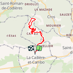
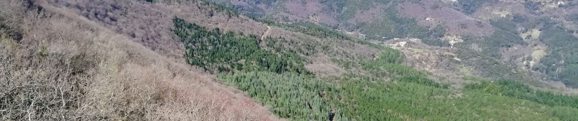
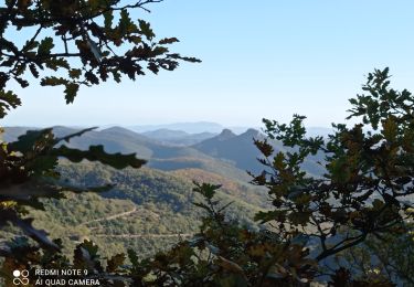
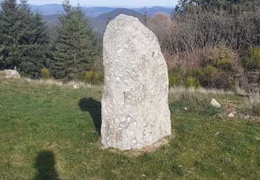
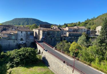
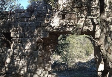
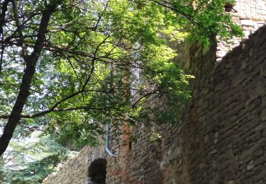
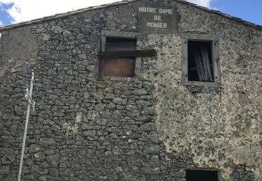
Trail Walking of 15.7 km to be discovered at Occitania, Gard, La Cadière-et-Cambo. This trail is proposed by vertygo.


Walking
Walking
Walking
Road bike
Walking
Walking
Walking
Walking
On foot