


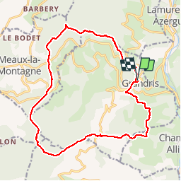

10.9 km | 16.5 km-effort

User


FREE GPS app for hiking
 SityTrail
IGN / Geographical institutes
SityTrail World
The world is yours!
Trail Walking of 18.3 km to be discovered at Auvergne-Rhône-Alpes, Rhône, Grandris. This trail is proposed by Thomasdanielle.
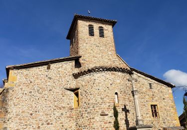
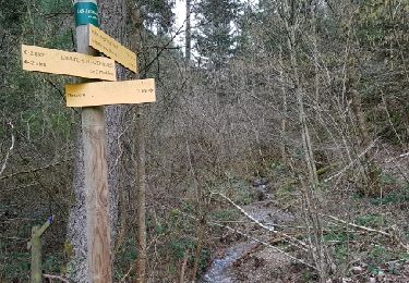
D/A Parking des platanes (départ des randonneurs)
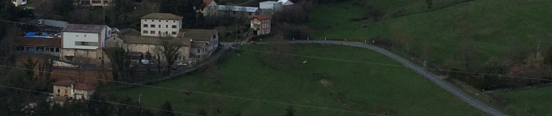
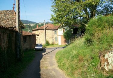
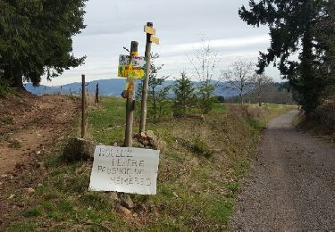
Marche du 19/03/2019)
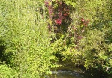
 - Photo 1")
Walking
Walking
Walking
Walking

Mountain bike
Mountain bike
Mountain bike
Mountain bike

Mountain bike