


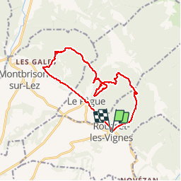

4.7 km | 7 km-effort

User


FREE GPS app for hiking
 SityTrail
IGN / Geographical institutes
SityTrail World
The world is yours!
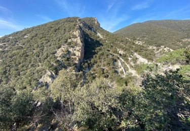
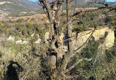
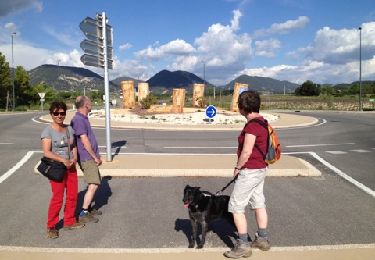
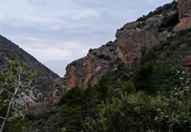
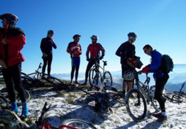
Trail Walking of 14.8 km to be discovered at Auvergne-Rhône-Alpes, Drôme, Rousset-les-Vignes. This trail is proposed by himba26100.
conjau a éviter de même oppidum
22 03 19
renee Syl antoine gêne jp


Walking
Walking
Walking
Walking

Walking

Mountain bike
Walking
Walking
Mountain bike