


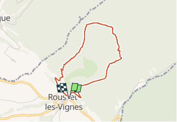

4.7 km | 7 km-effort

User


FREE GPS app for hiking
 SityTrail
IGN / Geographical institutes
SityTrail World
The world is yours!
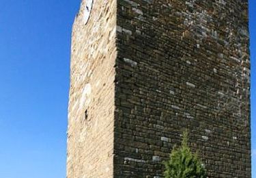
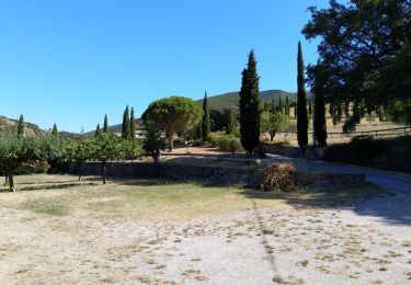
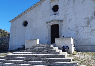
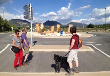
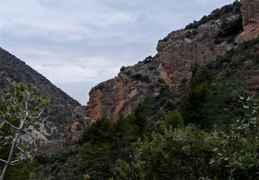
Trail Walking of 3.7 km to be discovered at Auvergne-Rhône-Alpes, Drôme, Rousset-les-Vignes. This trail is proposed by aitkhedache.
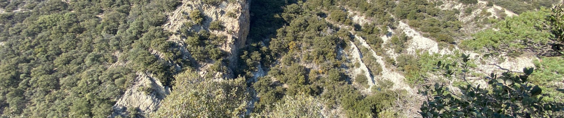
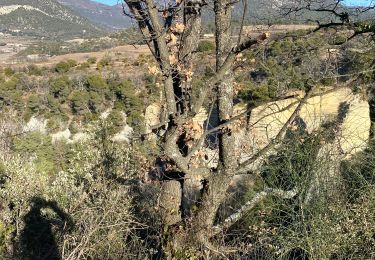
Une boucle à l’abri du vent avec de belles perspectives.


Walking
Walking
Walking

Walking

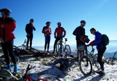
Mountain bike
Walking
Walking
Walking
Mountain bike