


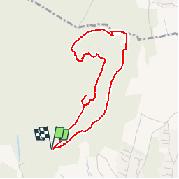

10.6 km | 15.7 km-effort


User


FREE GPS app for hiking
 SityTrail
IGN / Geographical institutes
SityTrail World
The world is yours!
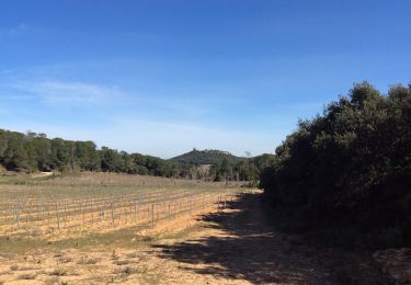
Trail On foot of 4.1 km to be discovered at Occitania, Gard, Laudun-l'Ardoise. This trail is proposed by PatCoria.
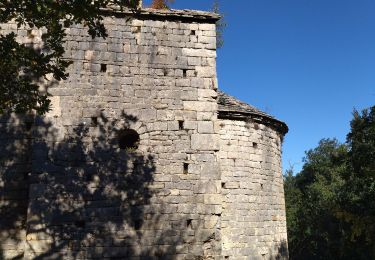
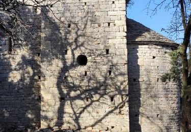
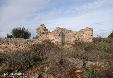
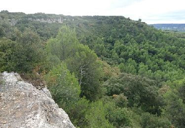
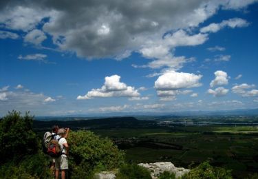
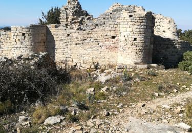
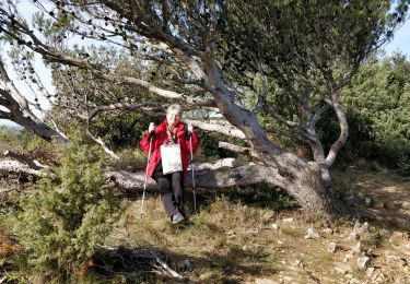
Belle balade passant par les ruines de Saint-Jean-de-Rouzigues, le passage du Loup et le Camp de César, profitez de visiter les vestiges expliqués par des panneaux.
Parking au point de départ de la marche (parking du Camp de César) à 1 km de Laudun-l'Ardoise.
Walking
Walking
Walking
Mountain bike

Walking
Walking
Walking
Walking