


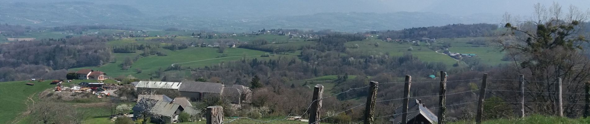
SAPENAY / CLERGEON: SAPENAY - PRINGY - GRANDE CUVE - ROJUX - LES GRANGES

djeepee74
User
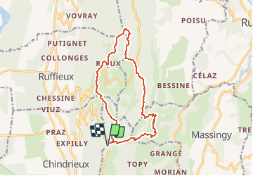

Length
14.4 km

Max alt
1018 m

Uphill gradient
565 m
Km-Effort
22 km

Min alt
596 m

Downhill gradient
564 m
Boucle
Yes
Creation date :
2019-04-15 18:44:20.284
Updated on :
2020-01-08 11:20:25.791
4h30
Difficulty : Difficult

FREE GPS app for hiking
 SityTrail
IGN / Geographical institutes
SityTrail Plus
The world is yours!
About
Trail Walking of 14.4 km to be discovered at Auvergne-Rhône-Alpes, Savoy, Entrelacs. This trail is proposed by djeepee74.
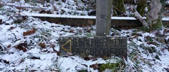
Description
BOUCLE
Photos


Positioning
Country:
France
Region :
Auvergne-Rhône-Alpes
Department/Province :
Savoy
Municipality :
Entrelacs
Location:
Cessens
Start:(Dec)
Start:(UTM)
722828 ; 5078648 (31T) N.
Comments