


Senantes

jpblimond
User
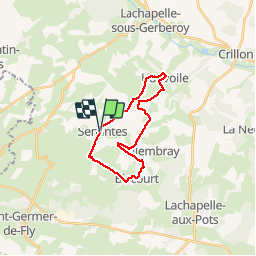

Length
18.7 km

Max alt
207 m

Uphill gradient
296 m
Km-Effort
23 km

Min alt
111 m

Downhill gradient
294 m
Boucle
Yes
Creation date :
2019-04-22 11:05:30.472
Updated on :
2019-04-27 16:49:30.489
4h47
Difficulty : Medium

FREE GPS app for hiking
 SityTrail
IGN / Geographical institutes
SityTrail Plus
The world is yours!
About
Trail Walking of 18.7 km to be discovered at Hauts-de-France, Oise, Senantes. This trail is proposed by jpblimond.
Description
Entre le KM 6,9 et le Km 7,3 le terrain est impraticable
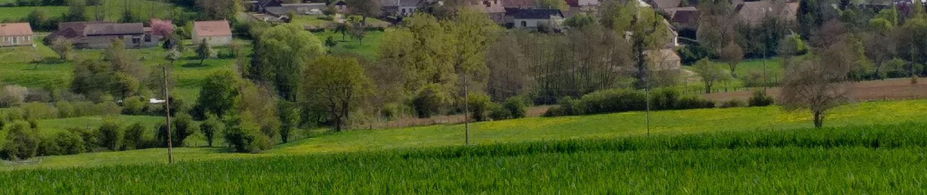
Photos


Positioning
Country:
France
Region :
Hauts-de-France
Department/Province :
Oise
Municipality :
Senantes
Location:
Unknown
Start:(Dec)
Start:(UTM)
415715 ; 5482165 (31U) N.
Comments