


les perrotins

bert16
User
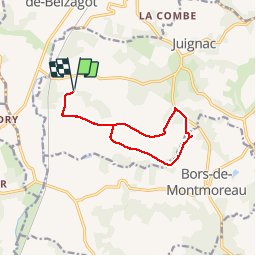

Length
11 km

Max alt
158 m

Uphill gradient
136 m
Km-Effort
12.9 km

Min alt
76 m

Downhill gradient
136 m
Boucle
Yes
Creation date :
2019-05-05 13:34:08.495
Updated on :
2019-05-05 16:06:17.395
2h31
Difficulty : Easy

FREE GPS app for hiking
 SityTrail
IGN / Geographical institutes
SityTrail Plus
The world is yours!
About
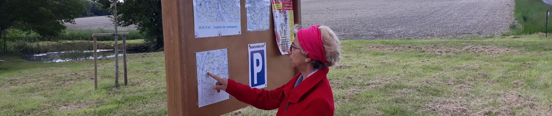
Trail Walking of 11 km to be discovered at New Aquitaine, Charente, Juignac. This trail is proposed by bert16.
Photos

Positioning
Country:
France
Region :
New Aquitaine
Department/Province :
Charente
Municipality :
Juignac
Location:
Unknown
Start:(Dec)
Start:(UTM)
274659 ; 5027685 (31T) N.
Comments