


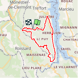

16.1 km | 22 km-effort

User

FREE GPS app for hiking
 SityTrail
IGN / Geographical institutes
SityTrail World
The world is yours!
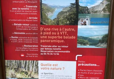
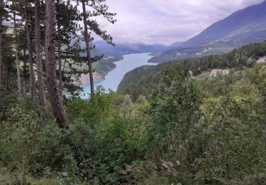
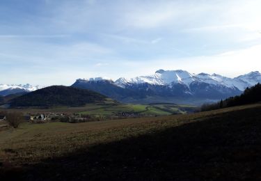
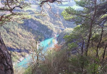
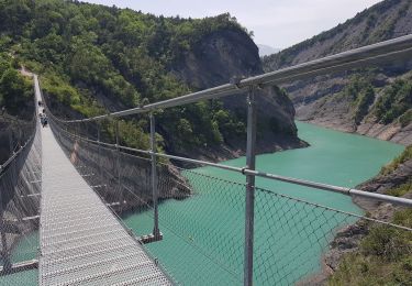
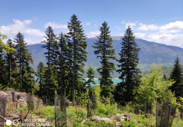
Trail Walking of 15.3 km to be discovered at Auvergne-Rhône-Alpes, Isère, Treffort. This trail is proposed by pcugnod.
Col de Fraisse . Tiraillere. La Roche . Jullières . Herbelon . Pas de Berlioz . Château du Clos . Table d’orientation de Côté rouge. Col de Fraisse


Walking
Walking
Walking

Walking
Walking
Walking
Walking
Walking
Nordic walking