


a rando 20120725

mrioux
User
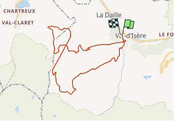

Length
20 km

Max alt
2783 m

Uphill gradient
1557 m
Km-Effort
41 km

Min alt
1826 m

Downhill gradient
1553 m
Boucle
Yes
Creation date :
2016-12-29 00:00:00.0
Updated on :
2016-12-29 00:00:00.0
7h09
Difficulty : Medium

FREE GPS app for hiking
 SityTrail
IGN / Geographical institutes
SityTrail Plus
The world is yours!
About
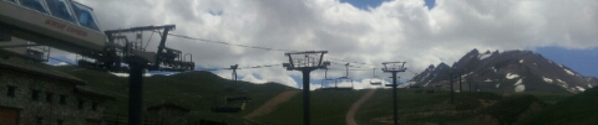
Trail Walking of 20 km to be discovered at Auvergne-Rhône-Alpes, Savoy, Val-d'Isère. This trail is proposed by mrioux.
Photos


Positioning
Country:
France
Region :
Auvergne-Rhône-Alpes
Department/Province :
Savoy
Municipality :
Val-d'Isère
Location:
Unknown
Start:(Dec)
Start:(UTM)
341623 ; 5034955 (32T) N.
Comments