


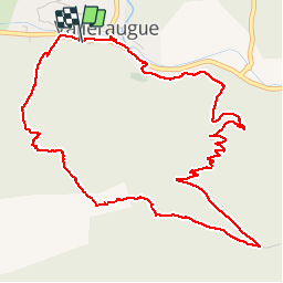

13.9 km | 19.6 km-effort

User


FREE GPS app for hiking
 SityTrail
IGN / Geographical institutes
SityTrail World
The world is yours!
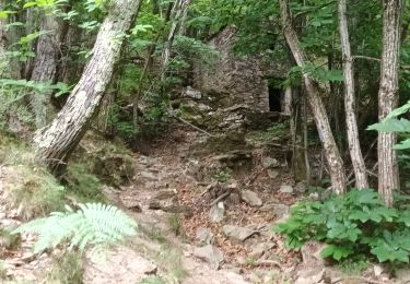
Trail Walking of 6.5 km to be discovered at Occitania, Gard, Val-d'Aigoual. This trail is proposed by famillerudent.
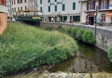
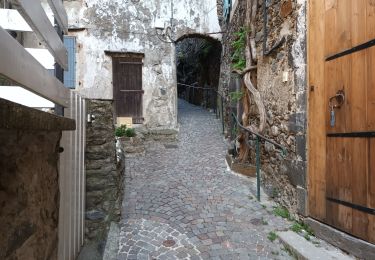
boucle de 7 km au départ de valleraugue
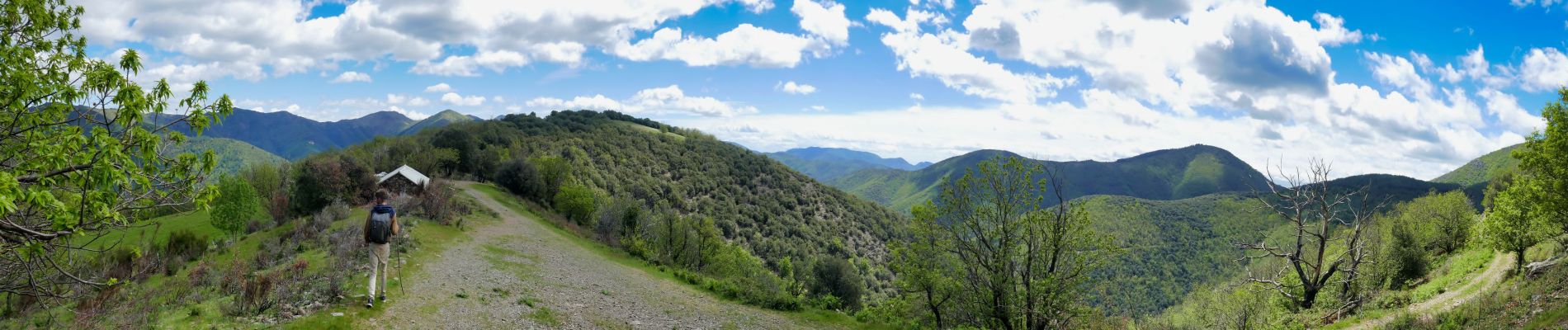
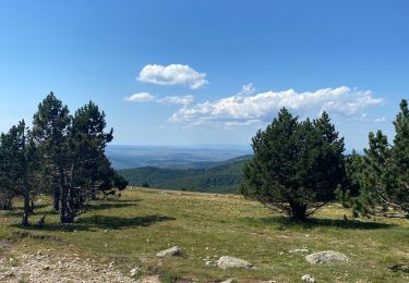
superbe vue à 380 ° au sommet
365 m de dénivellé


Walking

Walking

Walking
Walking
Walking
Walking
Walking

On foot
Walking