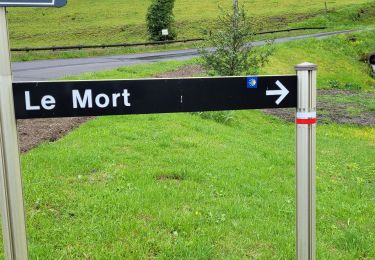
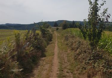
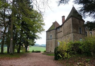
Trail Horseback riding Deux-Grosnes - Autoroute  - Photo
 hdetarle
hdetarle

User

© OpenStreetMap contributors
Length
Length
19.9 km
Max alt
Max alt
887 m
Uphill gradient
Uphill gradient
698 m
Km-Effort
Km-Effort  
30 km
Min alt
Min alt
307 m
Downhill gradient
Downhill gradient
922 m
Boucle
Boucle
No
Creation date :
2019-05-12 14:40:46.529
Updated on :
2019-08-12 11:55:00.414

(0 Reviews)

Horseback riding
Horseback riding
18m
Difficulty : Easy

Scan this QR Code to open this trail in the SityTrail application

FREE GPS app for hiking

Logo SityTrail SityTrail

IGN / Geographical institutes

Download SityTrail from the App Store Download SityTrail from Google Play

Logo SityTrail SityTrail World

The world is yours!

Download SityTrail from the App Store Download SityTrail from Google Play Download SityTrail on Huawei AppGallery

About

Trail Horseback riding of 19.9 km to be discovered at Auvergne-Rhône-Alpes, Rhône, Deux-Grosnes. This trail is proposed by hdetarle.

Elevation profile

Points of interest

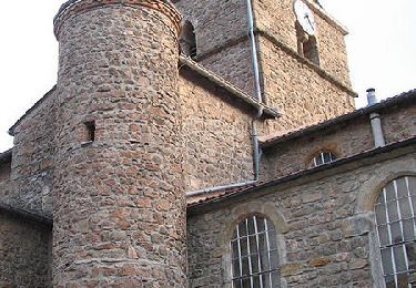
Point of interest Deux-Grosnes - TRADES - MAZOYER - Photo
hdetarle
DEUX-GROSNES 
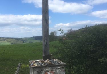
Point of interest Deux-Grosnes -  BF - Planay - Ouroux - ferme du planet - degabriel Valerie - Photo
hdetarle
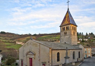
Point of interest Saint-Igny-de-Vers - 5 - Auberge des Petits - St IGNY DE VERS - Photo
hdetarle
SAINT-IGNY-DE-VERS 
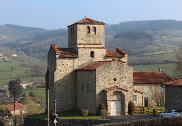
Point of interest Fleurie - FLEURIE - gite du PUY - Photo
hdetarle
Point of interest Beaujeu - PI - BEAUJEU - Photo
hdetarle
BEAUJEU 
Point of interest Claveisolles - Claveisolles - chevre et paysan - Thomas Douillon - Photo
hdetarle
Point of interest Saint-Germain-au-Mont-d'Or - 0-SAINT GERMAIN - Photo
hdetarle
SAINT-GERMAIN-AU-MONT-D'OR 
Point of interest Sainte-Paule - 1 - Ste PAULE - Photo
hdetarle
SAINTE-PAULE 
Point of interest Valsonne - 2 - VALSONNE - Photo
hdetarle
VALSONNE 
Point of interest Cublize - 3 - CUBLIZE - Photo
hdetarle
CUBLIZE 
Point of interest Poule-les-Écharmeaux - Les monneries du haut - Photo
hdetarle
POULE-LES-ÉCHARMEAUX 

Positioning

Country:
France
Region :
Auvergne-Rhône-Alpes
Department/Province :
Rhône
Municipality :
Deux-Grosnes
Location:
Trades
Start:(UTM)
620716 ; 5125533 (31T) N.

Trails nearby

Trail Walking Deux-Grosnes - Circuit de Saint-Jacques des Arrêts - Photo
Walking
tracegps

Walking

Medium
(1)
Deux-Grosnes, Auvergne-Rhône-Alpes, Rhône, France
11.9 km | 17.3 km-effort
3h 0min
Yes
Trail Walking Deux-Grosnes - Ouroux - Photo
Walking
Galoche

Walking

Difficult
(1)
Deux-Grosnes, Auvergne-Rhône-Alpes, Rhône, France
19.1 km | 0 m-effort
5h 57min
Yes
Trail On foot Deux-Grosnes - Circuit des Sapins - Photo
On foot
PRO

On foot

Difficult
Deux-Grosnes, Auvergne-Rhône-Alpes, Rhône, France
22 km | 33 km-effort
7h 34min
Yes
Trail On foot Deux-Grosnes - Circuit du Bois du Thym - Photo
On foot
PRO

On foot

Easy
Deux-Grosnes, Auvergne-Rhône-Alpes, Rhône, France
6.8 km | 10.6 km-effort
2h 24min
Yes
Trail Walking Deux-Grosnes - Séjour RCY : Les crêtes du Haut Beaujolais journée 3 - Photo
Walking
chessyca

Walking

Very difficult
Deux-Grosnes, Auvergne-Rhône-Alpes, Rhône, France
22 km | 32 km-effort
5h 42min
No
Trail Walking Saint-Pierre-le-Vieux - La Grotte de Saint Pierre le vieux  - Photo
Walking
darrisa

Walking

Difficult
Saint-Pierre-le-Vieux, Bourgogne-Franche-Comté, Saône-et-Loire, France
9.8 km | 13.5 km-effort
3h 42min
Yes
Trail Running Deux-Grosnes - jour 2 CAP Jeanot - Photo
Running
jeannat

Running

Very easy
Deux-Grosnes, Auvergne-Rhône-Alpes, Rhône, France
30 km | 44 km-effort
4h 20min
No
Trail Mountain bike Tramayes - 5ème Trans de La Mère Boîtier (VTT 2012 - grand parcours) - Tramayes - Photo
Mountain bike
tracegps

Mountain bike

Very difficult
Tramayes, Bourgogne-Franche-Comté, Saône-et-Loire, France
52 km | 73 km-effort
5h 15min
Yes
Trail Mountain bike Tramayes - 5ème Trans de La Mère Boîtier (VTT 2012 - petit parcours) - Tramayes - Photo
Mountain bike
tracegps

Mountain bike

Medium
Tramayes, Bourgogne-Franche-Comté, Saône-et-Loire, France
14.7 km | 21 km-effort
1h 45min
Yes


Close
My subscriptions