


Col Martelli

oliviergau
User
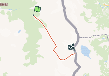

Length
6.4 km

Max alt
3276 m

Uphill gradient
1326 m
Km-Effort
20 km

Min alt
2158 m

Downhill gradient
252 m
Boucle
No
Creation date :
2019-05-12 20:07:03.104
Updated on :
2019-05-12 20:07:03.104
--
Difficulty : Unknown

FREE GPS app for hiking
 SityTrail
IGN / Geographical institutes
SityTrail Plus
The world is yours!
About
Trail Touring skiing of 6.4 km to be discovered at Auvergne-Rhône-Alpes, Savoy, Bessans. This trail is proposed by oliviergau.
Positioning
Country:
France
Region :
Auvergne-Rhône-Alpes
Department/Province :
Savoy
Municipality :
Bessans
Location:
Unknown
Start:(Dec)
Start:(UTM)
349839 ; 5017743 (32T) N.
Comments