


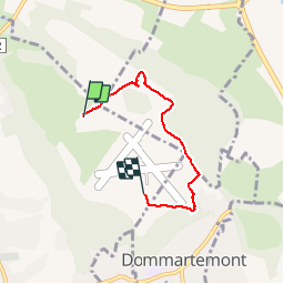

4.8 km | 6 km-effort


User


FREE GPS app for hiking
 SityTrail
IGN / Geographical institutes
SityTrail World
The world is yours!
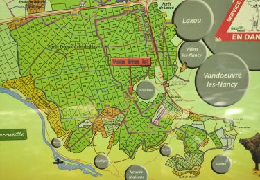
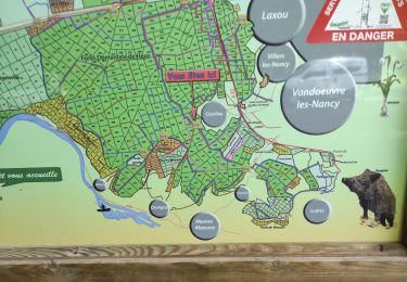
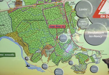
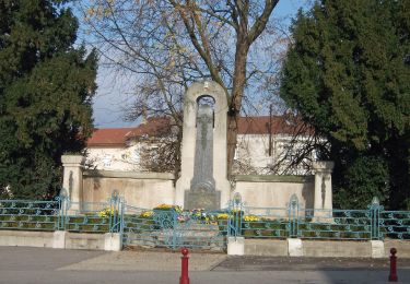
Trail Walking of 3.9 km to be discovered at Grand Est, Meurthe-et-Moselle, Malzéville. This trail is proposed by papounet56.
marche

Running

On foot

On foot

Bicycle tourism
Walking
Walking
Walking

On foot
On foot