


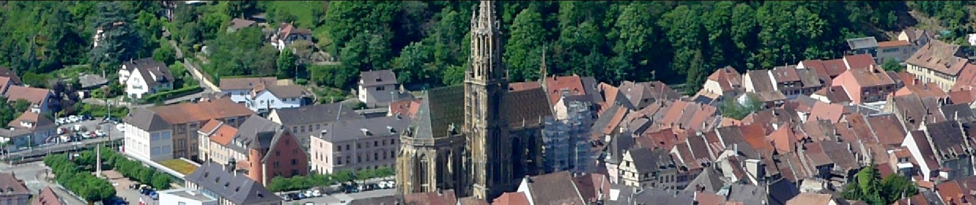
68 Steinbach - Thann 2019 05 23

E.BURCK
User


7h00
Difficulty : Very easy

FREE GPS app for hiking
 SityTrail
IGN / Geographical institutes
SityTrail Plus
The world is yours!
About
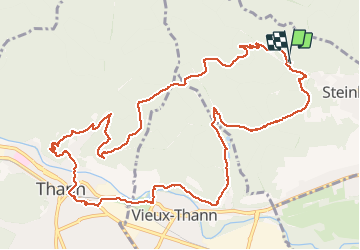
Trail Walking of 13.5 km to be discovered at Grand Est, Haut-Rhin, Steinbach. This trail is proposed by E.BURCK.
Description
ACCÈS :
-Par Cernay, Steinbach puis direction Mine Saint Nicolas.
PARKING :
-sur la droite à la sortie de Steinbach avant d'arriver à la mine St Nicolas..
47.825785, 7.140339 ou
N 47°49'33", E 07°08'25"
RESTAURATION : Le Moschenross à Thann.
Tél.: 03 89 37 00 86
Photos


Positioning
Comments