


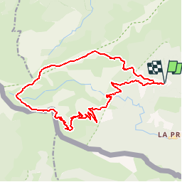


22 km | 38 km-effort


User


FREE GPS app for hiking
 SityTrail
IGN / Geographical institutes
SityTrail World
The world is yours!
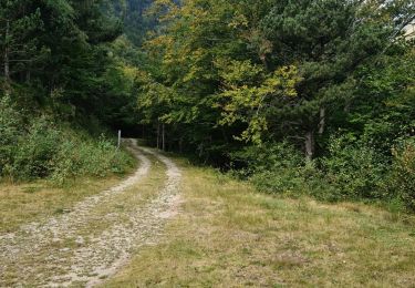
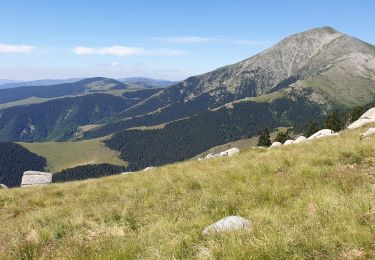
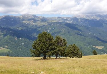
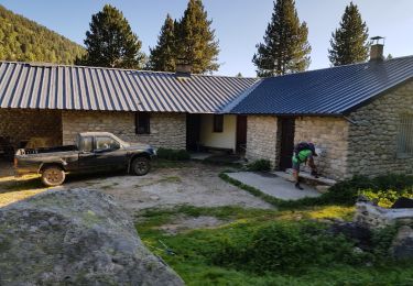
Trail Walking of 20 km to be discovered at Occitania, Pyrénées-Orientales, Prats-de-Mollo-la-Preste. This trail is proposed by force.
L'indépendant page 34. Belle randonnée. Le balisage retour est imprécis.


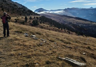
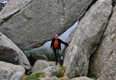
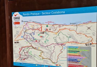
24 photos in total. Please click on a photo to see them all in the gallery.

Walking
Walking
Walking
Walking
Walking
Walking
Walking
Walking

Walking
Magnifique