


16 - LICHERES

AndreLACOMBE
User

Length
8.8 km

Max alt
90 m

Uphill gradient
82 m
Km-Effort
9.9 km

Min alt
61 m

Downhill gradient
80 m
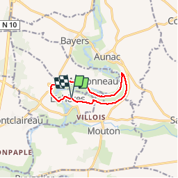
Boucle
Yes
Creation date :
2019-05-29 08:35:18.921
Updated on :
2019-05-29 12:55:05.688
4h18
Difficulty : Very easy

FREE GPS app for hiking
 SityTrail
IGN / Geographical institutes
SityTrail Plus
The world is yours!
About
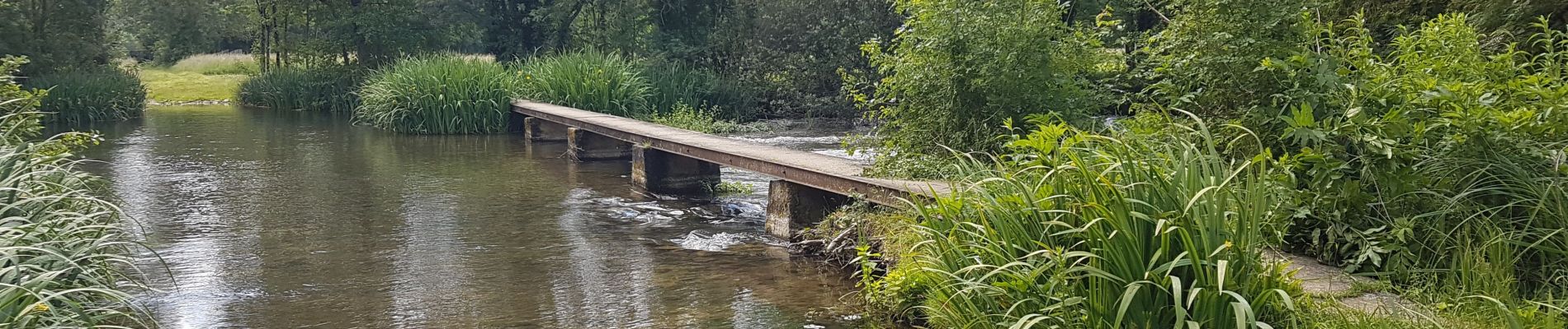
Trail Walking of 8.8 km to be discovered at New Aquitaine, Charente, Lichères. This trail is proposed by AndreLACOMBE.
Description
Sentier des bords de Charente. Départ de l'église St Denis.
Photos


Positioning
Country:
France
Region :
New Aquitaine
Department/Province :
Charente
Municipality :
Lichères
Location:
Unknown
Start:(Dec)
Start:(UTM)
285037 ; 5086929 (31T) N.
Comments