


Vimont.helene

NADINE52
User
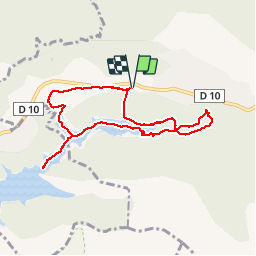

Length
8.1 km

Max alt
384 m

Uphill gradient
117 m
Km-Effort
9.7 km

Min alt
324 m

Downhill gradient
118 m
Boucle
Yes
Creation date :
2019-05-28 08:15:19.305
Updated on :
2019-05-30 09:50:57.966
3h06
Difficulty : Very easy

FREE GPS app for hiking
 SityTrail
IGN / Geographical institutes
SityTrail Plus
The world is yours!
About
Trail Walking of 8.1 km to be discovered at Provence-Alpes-Côte d'Azur, Bouches-du-Rhône, Vauvenargues. This trail is proposed by NADINE52.
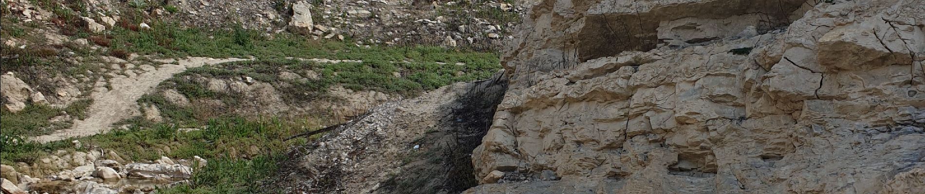
Photos


28 photos in total. Please click on a photo to see them all in the gallery.
Positioning
Country:
France
Region :
Provence-Alpes-Côte d'Azur
Department/Province :
Bouches-du-Rhône
Municipality :
Vauvenargues
Location:
Unknown
Start:(Dec)
Start:(UTM)
706937 ; 4825762 (31T) N.
Comments