


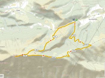
15 km | 25 km-effort
Vauvenargues: Discover the best trails: 174 hiking trails and 8 bike and mountain-bike routes. All these trails, routes and outdoor activities are available in our SityTrail applications for smartphones and tablets.

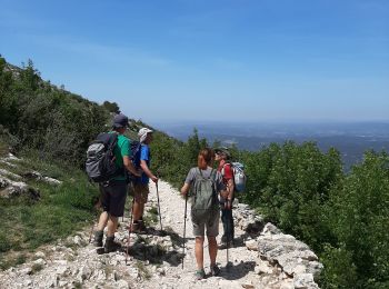
Walking


On foot
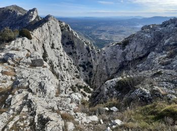
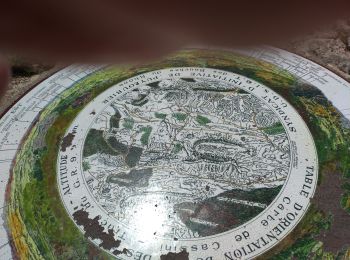
• Trail created by Grand Site Sainte-Victoire.
Walking
Walking
Walking
Trail
Walking
Walking
Mountain bike

Other activity
Walking
• p 1
Walking
Walking
Walking
Walking
Walking
Walking
Walking
On foot
• Trail created by Fédération française de la randonnée pédestre. Symbol: yellow bar
Walking
20 trails displayed on 195
FREE GPS app for hiking
 SityTrail
IGN / Geographical institutes
SityTrail World
The world is yours!