


mp sondernach 2019

stempfel52
User GUIDE
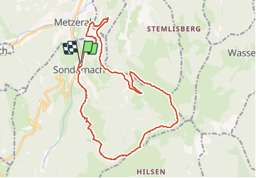

Length
19.8 km

Max alt
1208 m

Uphill gradient
816 m
Km-Effort
31 km

Min alt
539 m

Downhill gradient
818 m
Boucle
Yes
Creation date :
2019-05-30 07:06:50.856
Updated on :
2021-03-09 10:12:35.304
5h15
Difficulty : Difficult

FREE GPS app for hiking
 SityTrail
IGN / Geographical institutes
SityTrail Plus
The world is yours!
About
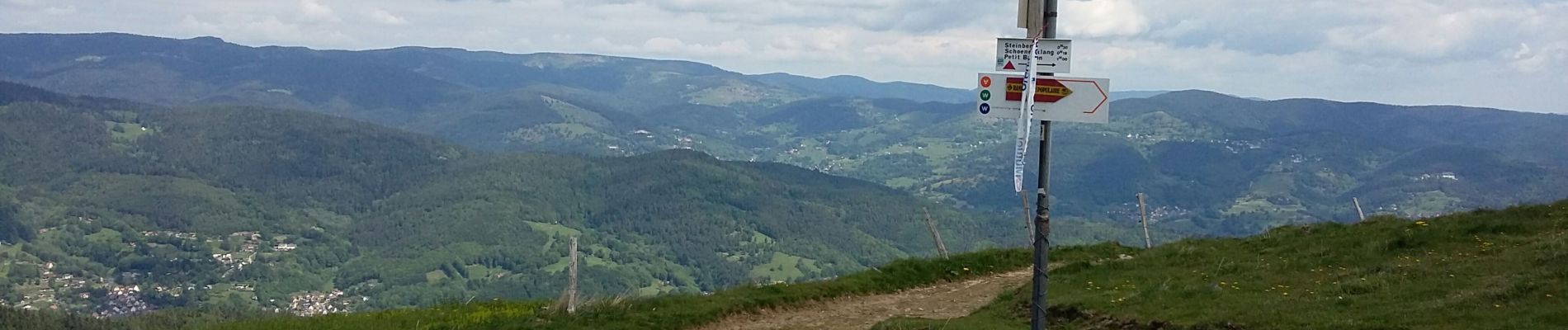
Trail Walking of 19.8 km to be discovered at Grand Est, Haut-Rhin, Sondernach. This trail is proposed by stempfel52.
Photos


Positioning
Country:
France
Region :
Grand Est
Department/Province :
Haut-Rhin
Municipality :
Sondernach
Location:
Unknown
Start:(Dec)
Start:(UTM)
356441 ; 5317999 (32T) N.
Comments