


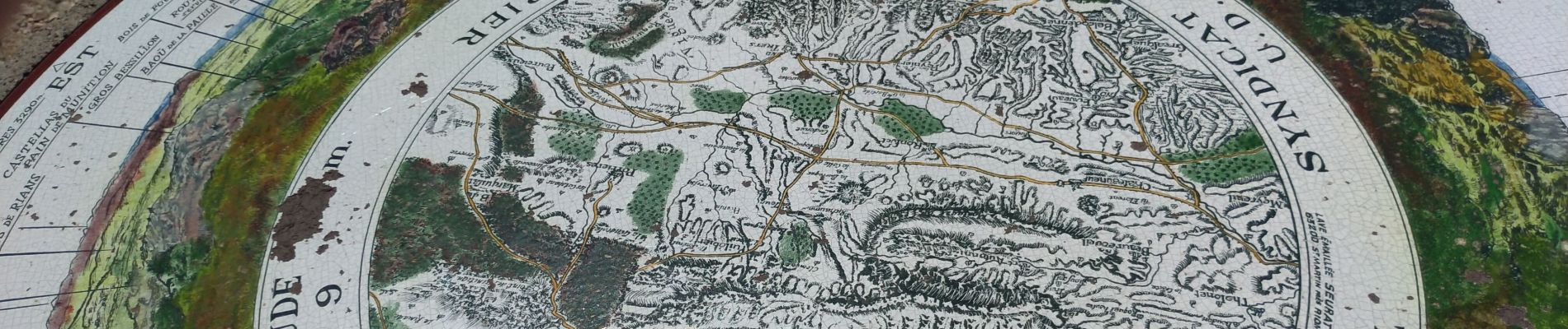
le Pic des Mouches par le col des Portes 30 mai 2019

chrifor
User
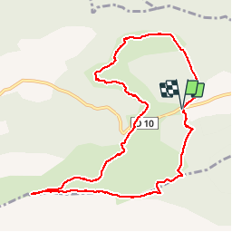


4h37
Difficulty : Medium

FREE GPS app for hiking
 SityTrail
IGN / Geographical institutes
SityTrail Plus
The world is yours!
About
Trail Walking of 11 km to be discovered at Provence-Alpes-Côte d'Azur, Bouches-du-Rhône, Vauvenargues. This trail is proposed by chrifor.
Description
Se garer sur le pkg à gauche de la route peu avant le col des Portes en direction de Vauvenargues. Prendre le chemin à l'angle gauche côté bois.
Montée agréable. Très belle vue au sommet. Descente raide et caillouteuse avant la seconde partie (Citadelle) en terrain dégagé.
Photos


Positioning
Comments