


5.5 km | 8 km-effort


User


FREE GPS app for hiking
 SityTrail
IGN / Geographical institutes
SityTrail World
The world is yours!
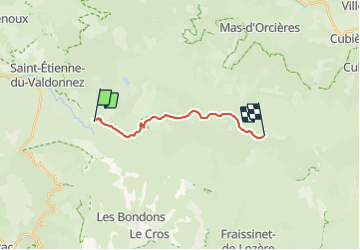
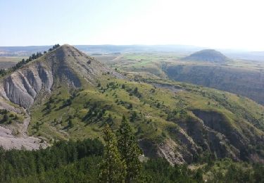
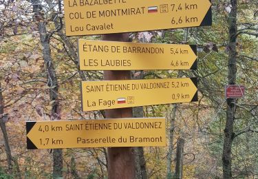
Trail Walking of 14 km to be discovered at Occitania, Lozère, Saint-Étienne-du-Valdonnez. This trail is proposed by peterschelfaut.
Deuxième étape. Permet de gagner facilement en altitude. Dernier point d'eau à Laubies. Bivouac possible près d'une source.
On foot
Walking
Walking
Walking
Electric bike
Walking
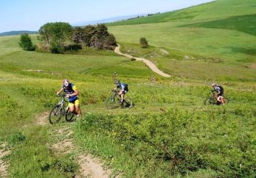
Mountain bike
Walking

Equestrian