


Lac d'Altenweiher

Claudele
User
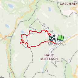

Length
12 km

Max alt
1082 m

Uphill gradient
635 m
Km-Effort
20 km

Min alt
527 m

Downhill gradient
635 m
Boucle
Yes
Creation date :
2019-06-02 08:04:19.95
Updated on :
2019-06-02 18:44:46.816
5h34
Difficulty : Very difficult

FREE GPS app for hiking
 SityTrail
IGN / Geographical institutes
SityTrail Plus
The world is yours!
About
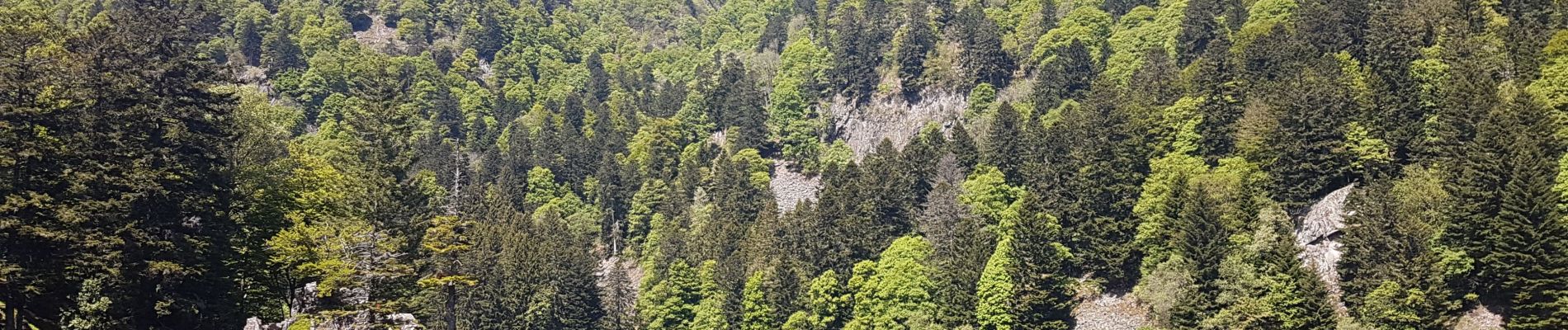
Trail Walking of 12 km to be discovered at Grand Est, Haut-Rhin, Mittlach. This trail is proposed by Claudele.
Photos


21 photos in total. Please click on a photo to see them all in the gallery.
Positioning
Country:
France
Region :
Grand Est
Department/Province :
Haut-Rhin
Municipality :
Mittlach
Location:
Unknown
Start:(Dec)
Start:(UTM)
353248 ; 5318542 (32U) N.
Comments