


4 châteaux Wettolsheim Husseren

apa
User
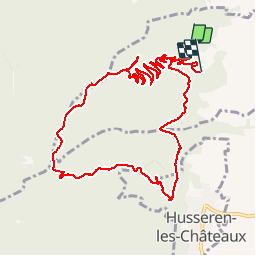

Length
11.7 km

Max alt
702 m

Uphill gradient
437 m
Km-Effort
17.7 km

Min alt
342 m

Downhill gradient
490 m
Boucle
No
Creation date :
2019-06-05 08:46:29.875
Updated on :
2019-06-05 13:52:28.098
4h28
Difficulty : Medium

FREE GPS app for hiking
 SityTrail
IGN / Geographical institutes
SityTrail Plus
The world is yours!
About
Trail Walking of 11.7 km to be discovered at Grand Est, Haut-Rhin, Wettolsheim. This trail is proposed by apa.
Description
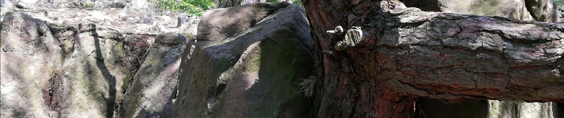
Magnifique rando
Photos


Positioning
Country:
France
Region :
Grand Est
Department/Province :
Haut-Rhin
Municipality :
Wettolsheim
Location:
Unknown
Start:(Dec)
Start:(UTM)
371709 ; 5323640 (32U) N.
Comments
Super panorama sur colmar