


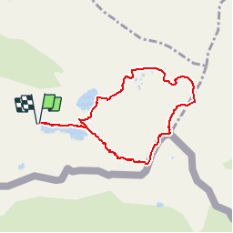

18.5 km | 35 km-effort


User


FREE GPS app for hiking
 SityTrail
IGN / Geographical institutes
SityTrail World
The world is yours!
Trail Walking of 7.7 km to be discovered at Occitania, Ariège, Bordes-Uchentein. This trail is proposed by beautrix.
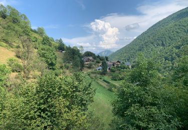
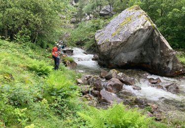
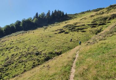
Jour 1 : Monter à l'étang Long par le col de Barlonguère. Bivouac au bout de l'étang. Source pas loin.
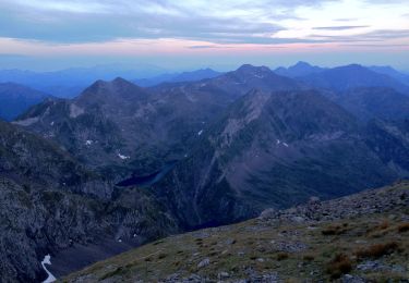
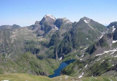
Jour 2 : Monter au pic de la Pale de la Clauère, en passant par le col du même nom. Suivre ensuite la crête pour arriver au sommet. Descendre par les rochers vers le col de Peyre Blanc (attention, mettre les mains). Remonter vers le petit Valier et se rendre au col de Faustin.
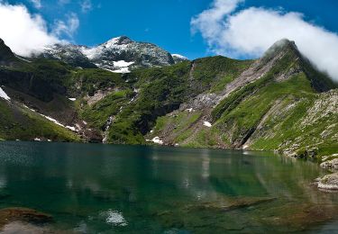
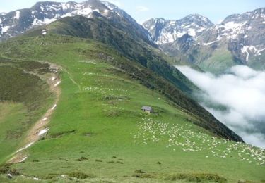
Retour par le refuge des Estagnous, la redescente à l'étang round. Retour au bivouac de l'étang long.
Walking
On foot
On foot

Running
Walking
Walking
Walking
Walking
Walking